3 entries match your criteria.
Related Historical Markers
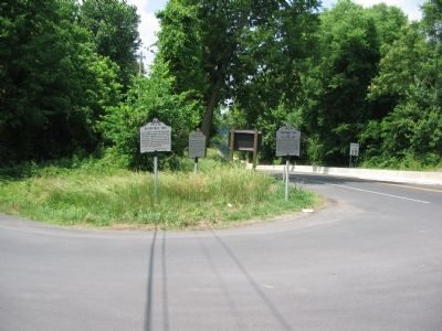
To better understand the relationship, study each marker in the order shown.
By Craig Swain, June 9, 2007
Markers Clustered at the Intersection of Shepherdstown Pike and Canal Road
SHOWN IN SOURCE-SPECIFIED ORDER
| On Shepherdstown Pike (Maryland Route 34) at Canal Road, on the left on Shepherdstown Pike. |
| | Thomas Swearingen began operating in 1755 a ferry where Rumsey Bridge now crosses the Potomac. It was about half a mile upstream from Pack Horse Ford. During the Revolution the Ford and Ferry served the Continental Army; British and German prisoners . . . — — Map (db m1954) HM |
| On Shephardstown Pike (Maryland Route 34) at Canal Road, on the left when traveling south on Shephardstown Pike. |
| | Also known as Boteler’s, Pack Horse and Shepherdstown Ford. “Stonewall” Jackson’s command crossed here en route from Harper’s Ferry to Sharpsburg. Here the entire Army of Northern Virginia withdrew into Virginia, Sept. 18–19, 1862, . . . — — Map (db m1953) HM |
| On River Road (County Route 17/1) at Trough Road (County Route 31/1), on the left when traveling west on River Road. |
| | Early settlers crossed the Potomac here. “Stonewall” Jackson and A.P. Hill used this ford on the way to Battle of Antietam. Here Lee’s army crossed after the battle, with the Corn Exchange Regiment, other Federals in pursuit. — — Map (db m62778) HM |
Apr. 30, 2024