Coltons Point in St. Mary's County, Maryland — The American Northeast (Mid-Atlantic)
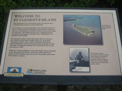
Welcome to St. Clement's Island
This small island, one of hundreds in the Chesapeake Bay watershed, has a history as old as Maryland.
St. Clement's was the first landfall of the Maryland settlers in 1634. A Potomac River landmark for almost four centuries, it has been a thriving farm, a popular summer resort and a target for big guns. The island was also once a regular stop for Chesapeake steamboats running from Washington, D.C., Baltimore and Norfolk.
The Maryland settlers named this island after St. Clement, the Catholic patron saint of sailors and seas. It become "Blackistone Island" when settler Nehemiah Blackistone married Elizabeth Gerrard and acquired her property in 1669. The State of Maryland renamed is St. Clement's when it took possession in 1960.
Today, St. Clement's Island is a peaceful island retreat managed by the Maryland Park Service. Its nature trails, historical markers and beautiful vistas are open to the public year round from sunrise to sunset.
[photo of island] An aerial view of St. Clement's Island taken in 1991.
[photo of waterman] The Potomac waters around St. Clement's Island have always been popular with watermen, hand tonging to harvest oysters. This waterman is sorting oysters on a culling board in the 1970s.
Erected by Chesapeake Bay Gateways Network, Maryland Department of Natural Resources.
Topics. This historical marker is listed in these topic lists: Agriculture • Military • Notable Events • Settlements & Settlers. A significant historical year for this entry is 1634.
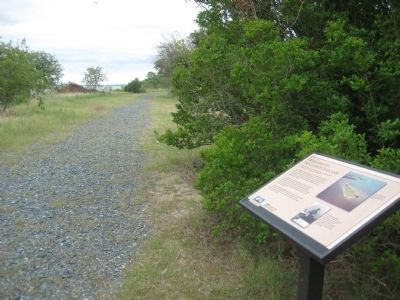
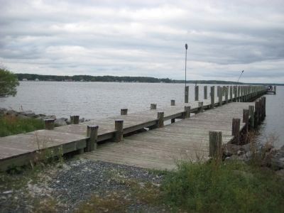
Location. This marker has been replaced by another marker nearby. It was located near 38° 12.845′ N, 76° 44.756′ W. Marker was in Coltons Point, Maryland, in St. Mary's County. Marker could be reached from Point Breeze Road, 0.2 miles east of Colton Point Road (Maryland Route 242). Marker is on St. Clements Island which is only accessibly by boat. A ferry operates on weekends from the St. Clement's Island Museum on Point Breeze Road. Touch for map. Marker was in this post office area: Coltons Point MD 20626, United States of America. Touch for directions.
Other nearby markers. At least 8 other markers are within walking distance of this location. St. Clement's Island State Park (within shouting distance of this marker); Welcome to St. Clements Island State Park (within shouting distance of this marker); Maryland Began Here (about 500 feet away, measured in a direct line); This Stand of Trees (about 700 feet away); Ancestral Garden (approx. 0.4 miles away); St. Clement's Island (approx. 0.4 miles away); Freedom to Worship
(approx. 0.4 miles away); St. Clement's Hundred (approx. 0.4 miles away). Touch for a list and map of all markers in Coltons Point.
More about this marker. There is an identical marker on the island near the lighthouse and cross.
Related marker. Click here for another marker that is related to this marker. This marker has been replaced by the linked marker.
Credits. This page was last revised on August 26, 2022. It was originally submitted on November 7, 2009, by F. Robby of Baltimore, Maryland. This page has been viewed 1,127 times since then and 60 times this year. Photos: 1, 2, 3. submitted on November 7, 2009, by F. Robby of Baltimore, Maryland.


