3 entries match your criteria.
Related Historical Markers
By Cosmos Mariner, June 3, 2022
The Chute Marker
SHOWN IN SOURCE-SPECIFIED ORDER
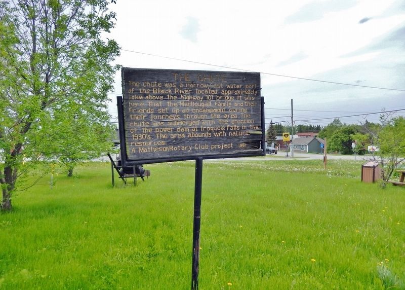
| | The chute was a narrow, fast water part of the Black River located approximately 1.0 km above the highway 101 bridge. It was here that the MacDougall family and their friends set up an encampment during their journeys through the area. The chute . . . — — Map (db m244991) HM |
| | One of the riches veins of gold ore ever discovered. A sample of the ore is on display at Queens Park Toronto. — — Map (db m244993) HM |
| | This village had been named originally after an Indian trapper by the name of MacDougall who was descended from an early Hudson’s Bay Factor. With the arrival of the Temiskaming and Northern Ontario Railway in 1906, the village was renamed Matheson . . . — — Map (db m244994) HM |
May. 18, 2024