2 entries match your criteria.
Related Historical Markers
By Paul Crumlish, May 8, 2010
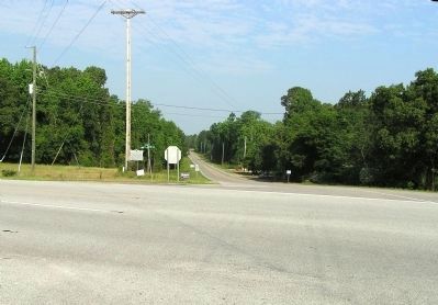
Wide view of the Marlborough Court House / Old River Road Marker
SHOWN IN SOURCE-SPECIFIED ORDER
| 1 ► South Carolina, Marlboro County, Bennettsville — 35-26 — Marlborough Court House / Old River Road — |
| Marker Front: Located about one mile N. of here was the original county seat of Marlborough County, established in 1785. Tristram Thomas conveyed two acres of land to the county for the erection of public buildings in 1787, and the court . . . — — Map (db m31742) HM | |||
| 2 ► South Carolina, Marlboro County, Bennettsville — 35-18 — Grave Of General Tristram Thomas / Saw Mill Baptist Church — |
| Grave of General Tristram Thomas In Saw Mill Church cemetery is the grave of Tristram Thomas, major of militia during the Revolution. At Hunt's Bluff, ten miles south, a band of Patriots under his command seized a British flotilla in 1780. He . . . — — Map (db m38035) HM | |||