Kenbridge in Lunenburg County, Virginia — The American South (Mid-Atlantic)
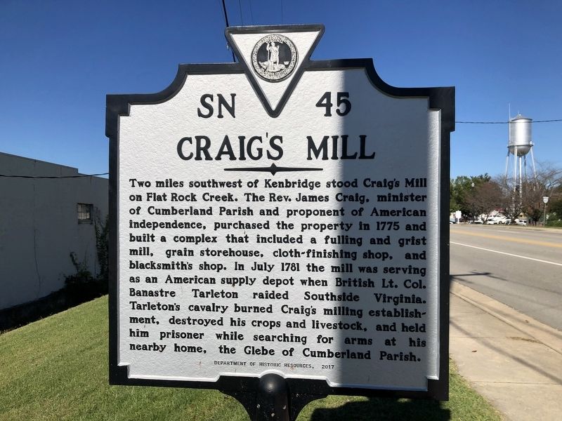
Craig's Mill
Erected 2017 by Department of Historic Resources. (Marker Number SN-45.)
Topics and series. This historical marker is listed in these topic lists: Colonial Era • Industry & Commerce • War, US Revolutionary • Waterways & Vessels. In addition, it is included in the Virginia Department of Historic Resources (DHR) series list. A significant historical month for this entry is July 1781.
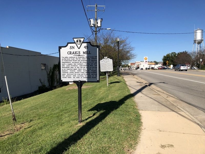
Location. 36° 57.639′ N, 78° 7.607′ W. Marker is in Kenbridge, Virginia, in Lunenburg County. Marker is at the intersection of South Broad Street (Virginia Route 40) and Main Street (Virginia Route 40), on the right when traveling south on South Broad Street. Touch for map. Marker is at or near this postal address: 301 S Broad St, Kenbridge VA 23944, United States of America. Touch for directions.
Other nearby markers. At least 8 other markers are within 6 miles of this marker, measured as the crow flies. Town of Kenbridge (a few steps from this marker); St. John’s Church (approx. 0.2 miles away); Kennedy's Store ca. 1908 (approx. 0.2 miles away); The Glebe of Cumberland Parish (approx. 2.4 miles away); Lunenburg County / Nottoway County (approx. 4.7 miles away); Lunenburg High School (approx. 4.7 miles away); Nathaniel Lee Hawthorne (approx. 5˝ miles away); The Peoples Community Center (approx. 5.7 miles away). Touch for a list and map of all markers in Kenbridge.
Related marker. Click here for another marker that is related to this marker. Old Marker At This Location also titled "Craig's Mill".
Credits. This page was last revised on November 9, 2021. It was originally submitted on September 26, 2021, by Devry Becker Jones of Washington, District of Columbia. This page has been viewed 221 times since then and 38 times this year. Photos: 1, 2. submitted on September 26, 2021, by Devry Becker Jones of Washington, District of Columbia.

