8 entries match your criteria.
Related Historical Markers
This is a list of markers in the Dane County Natural History Marker System.
By William J. Toman, September 25, 2010
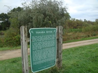
Yahara River Marker
SHOWN IN SOURCE-SPECIFIED ORDER
| On County Highway N, 0.5 miles west of Hannerville Road, on the left when traveling west. Reported missing. |
| On County Road Y, 0.7 miles west of State Highway 78, on the left when traveling west. |
| Near County Route F, 0.8 miles north of Cave of the Mounds Road, on the right when traveling north. |
| On County Road JJ, 0.1 miles west of State Highway 78, on the left when traveling west. |
| Near Scherbel Road, on the right when traveling north. |
| Near State Highway 19 at Matz Road, on the left when traveling west. |
| On Fish Hatchery Road (County Road D) 0.5 miles south of County Highway M, on the right when traveling south. |
| On County Highway BB, 0.5 miles east of Krueger Road, on the left when traveling east. |
May. 19, 2024