5 entries match your criteria.
Related Historical Markers
The Battle of Aldie by Markers
By Devry Becker Jones (CC0), May 28, 2020
Battle of Aldie Marker
SHOWN IN SOURCE-SPECIFIED ORDER
| On John Mosby Highway (U.S. 50), on the right when traveling east. |
| |
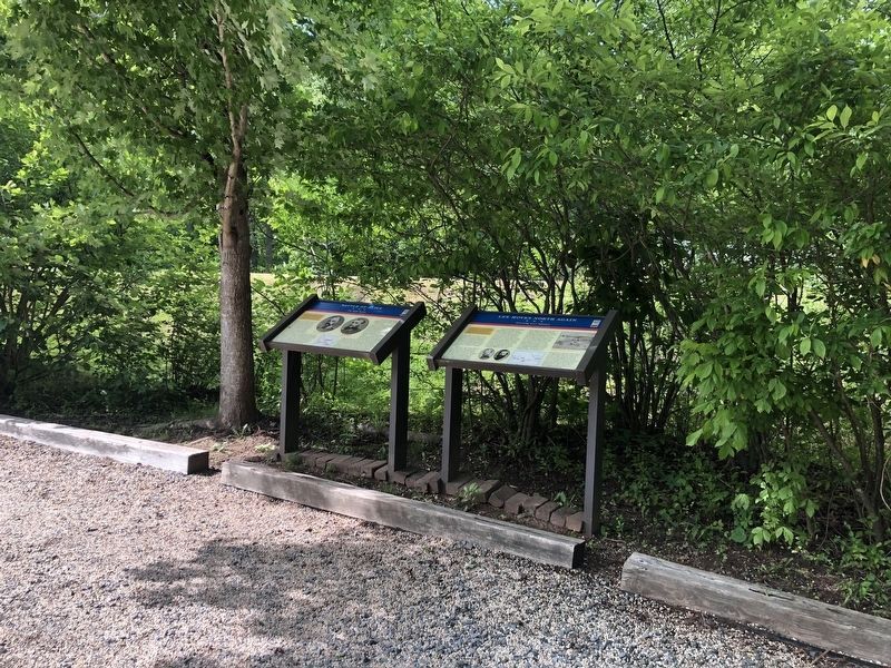
After Confederate Gen. Robert E. Lee's stunning victory at Chancellorsville in May 1863, he led the Army of Northern Virginia west to the Shenandoah Valley, then north through central Maryland and across the Mason-Dixon Line into . . . — — Map (db m3742) HM |
| On John Mosby Highway (U.S. 50), on the right when traveling east. |
| |
After Confederate Gen. Robert E. Lee's stunning victory at Chancellorsville in May 1863, he led the Army of Northern Virginia west to the Shenandoah Valley, then north through central Maryland and across the Mason-Dixon Line into . . . — — Map (db m3750) HM |
| On Snickersville Turnpike (Virginia Route 734), on the right when traveling north. |
| | (East Side of Marker)
Facing the Confederate Position
On the afternoon of June 17, 1863, cavalry from the Army of the Potomac under General Alfred Pleasonton and the Army of Northern Virginia under General JEB Stuart battled each . . . — — Map (db m182593) HM |
| On John Mosby Highway (U.S. 50) near Champe Ford Road (Route 632), on the right when traveling east. |
| | In June 1863, as Gen. Robert E. Lee led the Army of Northern Virginia through Blue Ridge gaps to the Shenandoah Valley, Maj. Gen. J.E.B. Stuart’s cavalry screened the army from Federal observation. The Union cavalry chief, Brig. Gen. Alfred . . . — — Map (db m1416) HM |
| On John Mosby Highway (U.S. 50) at Champe Ford Road (County Route 632), on the right when traveling east on John Mosby Highway. |
| | In June 1863, Gen. Robert E. Lee led the Army of Northern Virginia through gaps in the nearby Blue Ridge Mountains and into the Shenandoah Valley to invade the North. Maj. Gen. J.E.B. Stuart’s cavalry corps screened the army from Federal . . . — — Map (db m1454) HM |
May. 18, 2024