2 entries match your criteria.
Related Historical Markers
By Paul Crumlish, June 5, 2011
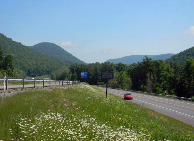
Wide view of the Sheshequin Path Marker
SHOWN IN SOURCE-SPECIFIED ORDER
| 1 ► Pennsylvania, Lycoming County, Trout Run — Sheshequin Path — |
| Branch of Warriors Path; provided a short cut from Tioga to the Big Island, traversing “the dismal wilderness” of Lycoming Creek. Dense forest, swamp, windfall, and storm made Indians believe a demon had power in this valley. — — Map (db m43523) HM | |||
| 2 ► Pennsylvania, Bradford County, Towanda — Sheshequin Path — |
| Indian trail joining the Iroquois country and the Shamokin area, passed near here. Conrad Weiser took this route to Onondaga, capital of the League, to represent the Province in council with the Iroquois. — — Map (db m33162) HM | |||