8 entries match your criteria.
Related Historical Markers
The Battle of McDowell, May 8, 1862 , virtual Tour by Markers.
By J. J. Prats, May 2, 2010
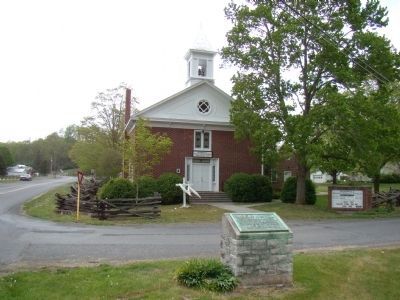
Battle of McDowell Marker
SHOWN IN SOURCE-SPECIFIED ORDER
| On Highland Turnpike (U.S. 250) at Bullpasture River Road (Virginia Route 678), on the left when traveling west on Highland Turnpike. |
| On U.S. 250, on the left when traveling west. |
| Near U.S. 250, on the right when traveling east. Reported permanently removed. |
| On Highland Turnpike (U.S. 250), on the left when traveling west. Reported permanently removed. |
| Near U.S. 250, on the right when traveling east. Reported permanently removed. |
| Near U.S. 250, on the right when traveling east. Reported permanently removed. |
| Near U.S. 250, on the right when traveling east. Reported permanently removed. |
| Near U.S. 250, on the left when traveling west. |
May. 29, 2024