Near Keysville in Charlotte County, Virginia — The American South (Mid-Atlantic)
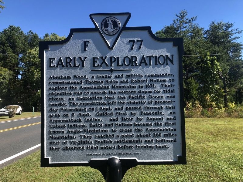
Early Exploration
Erected 2017 by Department of Historic Resources. (Marker Number F-77.)
Topics and series. This historical marker is listed in these topic lists: Colonial Era • Exploration • Native Americans. In addition, it is included in the Virginia Department of Historic Resources (DHR) series list. A significant historical year for this entry is 1671.
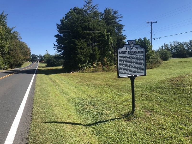
Location. 37° 3.389′ N, 78° 28.778′ W. Marker is near Keysville, Virginia, in Charlotte County. Marker is on Four Locust Highway (Business U.S. 15/360) 0.1 miles north of Crouch Lane, on the right when traveling north. Touch for map . Marker is at or near this postal address: 1156 Four Locust Hwy, Keysville VA 23947, United States of America. Touch for directions.
Other nearby markers. At least 8 other markers are within 6 miles of this marker, measured as the crow flies. Four Locust Farm (approx. half a mile away); Keysville (approx. 1.1 miles away); Campaign of 1781 (approx. 1.7 miles away); Southside Virginia Community College (approx. 2 miles away); Old Briery Church (approx. 2 miles away); Joseph Morton (approx. 2 miles away); Charlotte County / Prince Edward County (approx. 2.4 miles away); Greenfield (approx. 5.9 miles away). Touch for a list and map of all markers in Keysville.
Related marker. Click here for another marker that is related to this marker. Old Marker At This Location also titled "Early Exploration".
Credits. This page was last revised on November 3, 2021. It was originally submitted on September 25, 2021, by Devry Becker Jones of Washington, District of Columbia. This page has been viewed 192 times since then and 25 times this year. Photos: 1, 2. submitted on September 25, 2021, by Devry Becker Jones of Washington, District of Columbia.

