Marker Logo HMdb.org THE HISTORICAL
MARKER DATABASE
“Bite-Size Bits of Local, National, and Global History”


9 entries match your criteria.  


Related Historical Markers

Twenty-two Kentucky courthouses were burned during the Civil War.
 
Bath County Courthouse image, Touch for more information
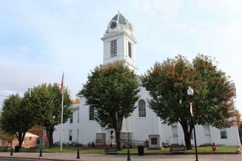
By Tom Bosse, November 4, 2017
Bath County Courthouse
SHOWN IN SOURCE-SPECIFIED ORDER
1 Kentucky, Bath County, Owingsville — 592 — Courthouse Burned
Near West Main Street (U.S. 60).
2 Kentucky, Monroe County, Tompkinsville — 593 — Courthouse Burned
On Main Street (State Highway 100) at 3rd Street, on the right when traveling north on Main Street.
3 Kentucky, Larue County, Hodgenville — 591 — Courthouse Burned
On Lincoln Blvd (Kentucky Route 210) at East Main Street (U.S. 31E), on the right when traveling north on Lincoln Blvd.
4 Kentucky, Rowan County, Morehead — 972 — Courthouse Burned
On East Main Street.
5 Kentucky, Montgomery County, Mount Sterling — 586 — Courthouse Burned
On Broadway Street.
6 Kentucky, Powell County, Stanton — 587 — Courthouse Burned
On Court Street.
7 Kentucky, Caldwell County, Princeton — 579 — Courthouse Burned
On East Market Street (U.S. 62) at North Harrison Street (Kentucky Route 293), on the left when traveling west on East Market Street.
8 Kentucky, Rowan County, Morehead — 972 — Courthouse Burned
On East Main Street.
9 Kentucky, Crittenden County, Marion — 596 — Courthouse Burned
On Carlisle Street just west of South Main Street (U.S. 60), on the right when traveling west.
 
 
CeraNet Cloud Computing sponsors the Historical Marker Database.
This website earns income from purchases you make after using our links to Amazon.com. We appreciate your support.
Paid Advertisement
May. 5, 2024