5 entries match your criteria.
Related Historical Markers
Battle of Crysler's Farm 1813 and French Mills to where American forces retreated.
By Barry Swackhamer, August 6, 2014
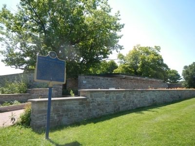
Battle of Crysler’s Farm 1813 Marker
SHOWN IN SOURCE-SPECIFIED ORDER
| Near Stormont, Dundas and Glengarry County Road (County Route 2) close to Upper Canada Village, on the left when traveling west. |
| On Salmon Street, 0.2 miles north of Chateaugay Street (New York State Route 37), on the right when traveling north. |
| On Center Street, 0.2 miles west of Water Street, on the right when traveling west. |
| On Chateaugay Street (New York State Route 37) 0.1 miles east of County Route 42, on the right when traveling east. |
| On Chateaugay Street (New York State Route 37) 0.1 miles east of County Route 42, on the left when traveling west. |
May. 17, 2024