4 entries match your criteria.
Related Historical Markers
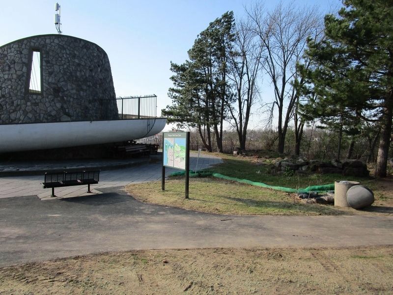
By Anton Schwarzmueller, November 20, 2020
Missing: The Great Gorge Route Marker
SHOWN IN SOURCE-SPECIFIED ORDER
| Near Discovery Way, 0.2 miles north of Main Street (New York State Route 104). Reported missing. |
| | The Great Gorge Route (1895-1935) once offered spectacular trolley rides through the Niagara Gorge. Initially, the route ran from Niagara Falls to Lewiston, NY. After the Lewiston-Queenston Suspension Bridge opened in 1899, however, the line . . . — — Map (db m75312) HM |
| On Niagara Parkway just south of Whirpool Road, on the right when traveling north. |
| | The Niagara River Recreation Trail at this point is laid along the former double-track roadbed of the Niagara Falls Park and River Railway. From 1892 to 1932, before there was an auto route along the gorge, this electric railway carried millions of . . . — — Map (db m79520) HM |
| | The Niagara Falls Park and River Railway Powerhouse, built on this site in 1892, was the first hydraulic powerhouse to use water from the Canadian side of the Niagara River. It generated 2100 hp of direct current electricity for the electric . . . — — Map (db m66409) HM |
| On Niagara Parkway just north of Whirlpool Road, on the right when traveling north. |
| | The cut stone markers are the ends of a buried steel trestle that carried the tracks of the Niagara Falls Park and River Railway. It spanned the ravine created by Bowman’s Creek which eroded the soft glacial debris of the buried gorge of a . . . — — Map (db m79563) HM |
May. 1, 2024