Wheeling in Ohio County, West Virginia — The American South (Appalachia)
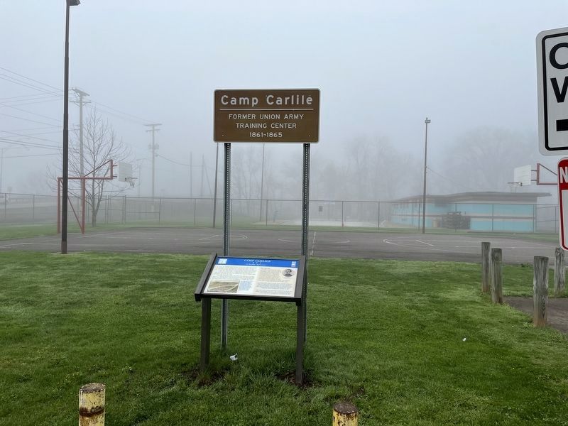
Camp Carlile
"A Warlike Appearance"
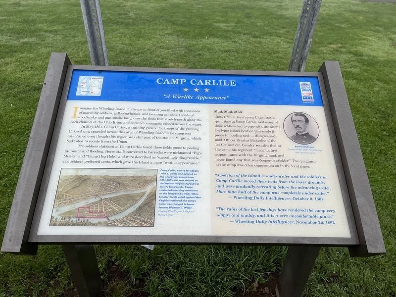
Imagine the Wheeling Island landscape in front of you filled with thousands of marching soldiers, galloping horses, and booming cannons. Clouds of woodsmoke and gun smoke hung over the fields that stretch north along the back channel of the Ohio River, and shouted commands echoed across the water.
In May 1861, Camp Carlile, a training ground for troops of the growing Union Army, sprawled across this area of Wheeling Island. The camp was established even though this region was still part of the state of Virginia, which had voted to secede from the Union.
The soldiers stationed at Camp Carlile found these fields prone to pooling rainwater and flooding. Horse stalls converted to barracks were nicknamed "Pig's Misery" and "Camp Hog Hole," and were described as "exceedingly disagreeable." The soldiers preferred tent, which gave the Island a more "warlike appearance."
Mud, Mud, Mud
Units from at least seven Union states spent time at Camp Carlile, and many of those soldiers had to cope with the camp's low-lying island location that made it prone to flooding and … disagreeable mud. Officer Erastus Blakeslee, of the 1st Connecticut Cavalry recalled that at the camp his regiment "made its first acquaintance with the Virginia mud, and never found any that was deeper or stickier." The quagmire at the camp was often commented on in the local paper.
"A portion of the island is under water and the soldiers at Camp Carlile moved their tents from the lower grounds, and were gradually retreating before the advancing water. More than half of the camp was completed under water."
— Wheeling Daily Intelligencer, October 9, 1861
"The rains of the last few days have rendered the camp very sloppy and muddy, and it is a very uncomfortable place."
— Wheeling Daily Intelligencer, November 20, 1862
[Captions:]
Camp Carlile, named for Senator John S. Carlile and outlined on this engraving, existed from 1861-1865 and was situated on the Western Virginia Agricultural Society fairgrounds. Troops conducted marching maneuvers on the fairground's track. When Senator Carlile voted against West Virginia statehood, the camp's name was changed to honor Senator Waitman T. Willey.
Erected 2022 by West Virginia Civil War Trails.
Topics and series. This historical marker is listed in these topic lists: War, US Civil • Waterways & Vessels. In addition, it is included in the West Virginia Civil War Trails series list. A significant historical month for this entry is May 1861.
Location. 40° 4.364′ N, 80° 44.168′
Other nearby markers. At least 8 other markers are within walking distance of this marker. A different marker also named Camp Carlile (here, next to this marker); a different marker also named Camp Carlile (within shouting distance of this marker); The National Historic Road in Ohio (approx. ¼ mile away in Ohio); Veterans Memorial (approx. ¼ mile away in Ohio); Historic Bridgeport (approx. ¼ mile away in Ohio); Charles Ellet, Jr. (approx. 0.4 miles away); Marsh Wheeling Stogies (approx. 0.6 miles away); List House (approx. 0.6 miles away). Touch for a list and map of all markers in Wheeling.
Related marker. Click here for another marker that is related to this marker. This marker has replaced the linked marker.
Credits. This page was last revised on June 23, 2022. It was originally submitted on April 24, 2022, by Devry Becker Jones of Washington, District of Columbia. This page has been viewed 307 times since then and 42 times this year. Last updated on June 23, 2022, by Bradley Owen of Morgantown, West Virginia. Photos: 1, 2. submitted on April 24, 2022, by Devry Becker Jones of Washington, District of Columbia.

