7 entries match your criteria.
Related Historical Markers
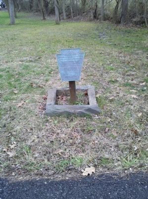
By Keith S Smith, December 15, 2011
Trimble's Ford
SHOWN IN SOURCE-SPECIFIED ORDER
| On Camp Linden Road, on the right when traveling east. |
| |
September 11, 1777, while on the march
to the Battlefield of Brandywine,
the British Army under Howe
and Cornwallis crossed the
Brandywine at the ford just
south of this point.
__________
Erected by
The Pennsylvania . . . — — Map (db m198354) HM |
| On East Baltimore Pike (U.S. 1) 0.2 miles east of McFarlan Road, on the right when traveling east. |
| | On Sept. 11, 1777, an American force of about 11,000 men, commanded by Washington, attempted to halt a British advance into Pennsylvania. The Americans were defeated near Chadds Ford on Brandywine Creek by approximately 18,000 British and Hessian . . . — — Map (db m189469) HM |
| On Birmingham Road, on the right when traveling north. |
| | To mark the site of the first line of defense of the American Army at the Battle of the Brandywine 11 September 1777 — — Map (db m41300) HM |
| On Birmingham Road at Squires Drive, on the right when traveling south on Birmingham Road. |
| | Cornwallis’ division of the British Army halted here September 11, 1777, on its march to the Battlefield of Brandywine. — — Map (db m191125) HM |
| On Birmingham Road at Country Club Drive, on the left when traveling south on Birmingham Road. |
| | From this ridge General Howe directed the movements of the British Army during the Battle of Brandywine, September 11, 1777. — — Map (db m51472) HM |
| On East Baltimore Pike (U.S. 1) 0.2 miles east of McFarlan Road, on the right when traveling east. |
| | Howe planned two separate attacks against the American line. In early morning, the British Army divided here. Knyphausen’s troops went east to engage the center of the line at Chadd’s Ford, while a force under Cornwallis marched approximately 6 . . . — — Map (db m189468) HM |
| On Creek Road, on the right when traveling north. |
| | Proctor's American Artillery occupied several redoubts near this house at the Battle of Brandywine, September 11, 1777 — — Map (db m182628) HM WM |
May. 5, 2024