7 entries match your criteria.
Related Historical Markers
By Keith S Smith, December 15, 2011
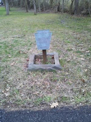
Trimble's Ford
SHOWN IN SOURCE-SPECIFIED ORDER
| 1 ► Pennsylvania, Chester County, West Chester, West Bradford Township — Trimble's Ford — Howe & Cornwallis crossed the Brandywine here in 1777 — |
| On Camp Linden Road, on the right when traveling east. | |||
| 2 ► Pennsylvania, Chester County, Kennett Square, Kennett Township — Battle of Brandywine — |
| On East Baltimore Pike (U.S. 1) 0.2 miles east of McFarlan Road, on the right when traveling east. | |||
| 3 ► Pennsylvania, Chester County, West Chester, Birmingham Township — First Defense Line — American Army — |
| On Birmingham Road, on the right when traveling north. | |||
| 4 ► Pennsylvania, Chester County, West Chester, East Bradford Township — Sconnelltown. — |
| On Birmingham Road at Squires Drive, on the right when traveling south on Birmingham Road. | |||
| 5 ► Pennsylvania, Chester County, West Chester, Birmingham Township — Osborne's Hill — |
| On Birmingham Road at Country Club Drive, on the left when traveling south on Birmingham Road. | |||
| 6 ► Pennsylvania, Chester County, Kennett Square, Kennett Township — A48 — Battle of Brandywine — |
| On East Baltimore Pike (U.S. 1) 0.2 miles east of McFarlan Road, on the right when traveling east. | |||
| 7 ► Pennsylvania, Delaware County, Chadds Ford, Chadds Ford Township — John Chad's House — c. 1725 — National Register of Historic Places — |
| On Creek Road, on the right when traveling north. | |||