After filtering for Scotland, 20 entries match your criteria.
Waterways & Vessels Topic
By Michael Herrick, September 4, 2018
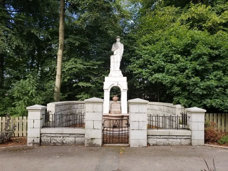
James Mitchell · Carrier Marker
| On Grove Road (Scotland Route B993) at Station Road, on the left when traveling north on Grove Road. |
| On Route A85 at Lora Falls Bridge (Route A828), on the right when traveling south on Route A85. |
| On George Street at Stafford Street, on the left when traveling north on George Street. |
| On Newhalls Road at Longcraig Road, on the left when traveling east on Newhalls Road. |
| On Scotland Route A9 at at the end of the road, on the right when traveling north on State Route A9. |
| On Marine Terrace at Bank Street, on the right when traveling north on Marine Terrace. |
| On Scotland Route A82, 5.5 kilometers south of River Enrick (Route A831), on the right when traveling south. |
| On Scotland Route A82, 5.5 kilometers south of River Enrick (Route A831), on the right when traveling south. |
| On Route A894 at the Kylesku Bridge, on the right when traveling south on Route A894. |
| Near Aird Road, 4 kilometers north of Route A836, on the right when traveling north. |
| On unnamed road, 2.9 kilometers east of Scotland Route A99, on the left when traveling east. |
| On Forteath Street at Bath Street, on the left when traveling west on Forteath Street. |
| On Pitgaveny Street at Commerce Street, on the left when traveling north on Pitgaveny Street. |
| On Victoria Street at Graham Place, on the right when traveling south on Victoria Street. |
| On S End at Mayburn Court, on the right when traveling south on S End. |
| On Dundas Street at Hellhole Road, on the left when traveling south on Dundas Street. |
| On Ferry Road at Victoria Street, on the left when traveling south on Ferry Road. |
| On Ferry Road at Victoria Street, on the right when traveling south on Ferry Road. |
| On S End, 0.3 kilometers south of Hellinhole Road, on the left when traveling south. |
May. 22, 2024