After filtering for United States of America, 102 entries match your criteria. Entries 101 through 102 are listed.⊲ Previous 100
Historical Markers and War Memorials in Hot Springs National Park AR 71901
By James Hulse, September 29, 2023
The Open Springs and Marker
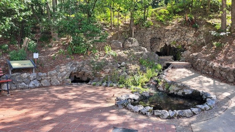
| 101 ► Arkansas, Garland County, Hot Springs, Hot Springs National Park — Open Springs — |
| As early as the 1840s the bathhouses were capping springs to control and use them. These springs evoke pre-development days when water flowed freely from the mountainside. The water of Open Springs has an average temperature of 134°F (56°C). . . . — — Map (db m234382) HM | |||
| 102 ► Arkansas, Garland County, Hot Springs, Hot Springs National Park — Trail Shelters — Hot Springs National Park — |
| The first trail shelter was built in May of 1924, along the ridgeline between North Mountain and Hot Springs Mountain. It was part of the construction of the trail that led down to the Gulpa Gorge Campground. The building was a small, stone, open . . . — — Map (db m234366) HM | |||
102 entries matched your criteria. Entries 101 through 102 are listed above. ⊲ Previous 100