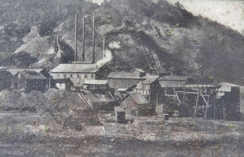
Near Happy Valley Road just north of Milligan Highway (Tennessee Route 359), on the left when traveling north.
High grade magnetite iron ore was found at the base of Roan Mountain near Cranberry, NC after the War of 1812. A "bloomery", or iron smelter, was built at Cranberry in 1820 to process the ore and supply iron to the Confederacy during the Civil War. . . . — — Map (db m184266) HM
On Hickory Nut Gap Road (County Route 1342) west of North Carolina Highway 184, on the left when traveling west.
In 1860 Banner Elk was a small community in the mountains of Watauga County (present-day Avery County). Then called Banner’s Elk, it was named for the local Banner family and the Elk River. During the last years of the Civil War, an organized system . . . — — Map (db m77533) HM
On Hospital Drive 0.5 miles south of Newland Highway (North Carolina Highway 181), on the left when traveling south.
Sarah Malinda Blalock and her husband, William McKesson “Keith” Blalock, lived in Coffey’s Gap on the Watauga and Caldwell County line in 1860. Keith Blalock was an avowed Unionist, but with the passage of the first Confederate . . . — — Map (db m77492) HM
On Linville Falls Highway (U.S. 221) west of Sloop Mill Dam Road, on the left when traveling west.
Nowhere is The Crossnore School's mission to provide hope and healing in a
homelike residential education setting for children from families in crisis more
lovingly portrayed than through Ben Long's rendering of Mark 10:14, “Suffer the . . . — — Map (db m262974) HM
Thin black lines indicate changes in relevance. Between each pair of lines entries are ordered geographically but all have the same relevance.
* Inflectional forms of words are their plurals, singulars, and possessives as well as gramatical tenses and similar variations.