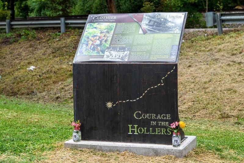
On Coal Valley Road, on the left when traveling east.
August 26, 1921
In this union coal camp about ten miles south of Madison, a miner named Lewis White hijacks a C&O train at gunpoint and tells the conductor to take him to Madison. There, UMWA District 17 leaders Frank Keeney and Fred Mooney . . . — — Map (db m206830) HM
On Cherokee Road (County Route 17) 5.8 miles east of Coal Heritage Road in Northfork, on the right when traveling east.
From the perspective of the coal company, the company store had a vital economic function. In an age when sixty percent of the mine’s cost of production consisted of wages, it ensured that the flow of money was circular. Miners’ wages flowed . . . — — Map (db m178984) HM
On Fourth Avenue (U.S. 52) at Logan Street, on the right when traveling south on Fourth Avenue.
This city is named for Wallace J. Williamson, whose family owned vast tracts of undeveloped land along Tug Fork in what was originally southwestern Logan County, West Virginia. In 1888, following a visit to the area by a Norfolk and Western . . . — — Map (db m178351) HM
Near Lundy's Lane, on the right when traveling west.
Born into slavery in Logan County in what is now West Virginia U.S.A. Plato and several friends used the Underground Railroad to reach Canada in 1856, settling in Niagara Falls. He became a popular and respected businessman, as well as an active . . . — — Map (db m283725) HM
On Ferrell Street at Hatfield Street, on the right when traveling north on Ferrell Street.
The Battle of Matewan was one of the defining events of the West Virginia Mine Wars of the early 1920s. The battle — often called the Matewan Massacre — took place on the afternoon of May 19, 1920, when a group of Baldwin-Felts Detective Agency . . . — — Map (db m178411) HM
On Coal Valley Road near Blair Mountain Highway (West Virginia Route 17), on the left when traveling east.
In August 1921, an estimated 15,000 coal miners and their allies participated in the largest armed labor uprising in US history.
But this was just the finale of a drama begun a decade earlier. In 1912, on Paint Creek and Cabin Creek, . . . — — Map (db m206809) HM
Near Jerry West Highway (West Virginia Route 44) 0.5 miles south of Philips Street, on the right when traveling south.
Descended from English settlers, the Hatfield clan made its way to western Virginia by the 1770s. The first Hatfield to arrive at Tug Fork Valley was Ephraim, nicknamed "Eph-of-All", from Russell County, Virginia. He and his second wife, Anna . . . — — Map (db m306427) HM
On McCorkle Avenue at 86th Street, on the right when traveling south on McCorkle Avenue.
In August 1921, an estimated 15,000 coal miners and their allies participated in the largest armed labor uprising in US history.
But this was just the finale of a drama begun a decade earlier.
In 1912, on Paint Creek and . . . — — Map (db m206835) HM
The People of Thomas
The history books of Thomas are full of fascinating stories of the people who built these buildings and lived their lives here. Hundreds of people from around the world came to Thomas to seek their fortunes, . . . — — Map (db m153066) HM
On Okey L Patterson Road (West Virginia Route 612) at Scarbro Road (Local Route 1/5), on the right when traveling east on Okey L Patterson Road.
The United Mine Workers of America sought to protect coal
miners and began to agitate for better working conditions
throughout the nation. But, it was difficult to organize the West
Virginia miners’ union because of the ultimate control . . . — — Map (db m140168) HM
Thin black lines indicate changes in relevance. Between each pair of lines entries are ordered geographically but all have the same relevance.
* Inflectional forms of words are their plurals, singulars, and possessives as well as gramatical tenses and similar variations.