Near San Acacia in Socorro County, New Mexico — The American Mountains (Southwest)
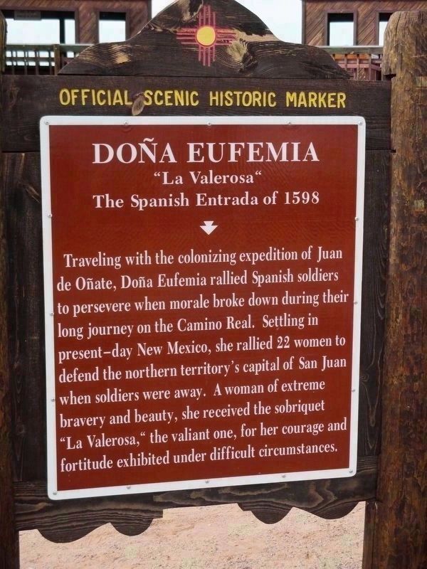
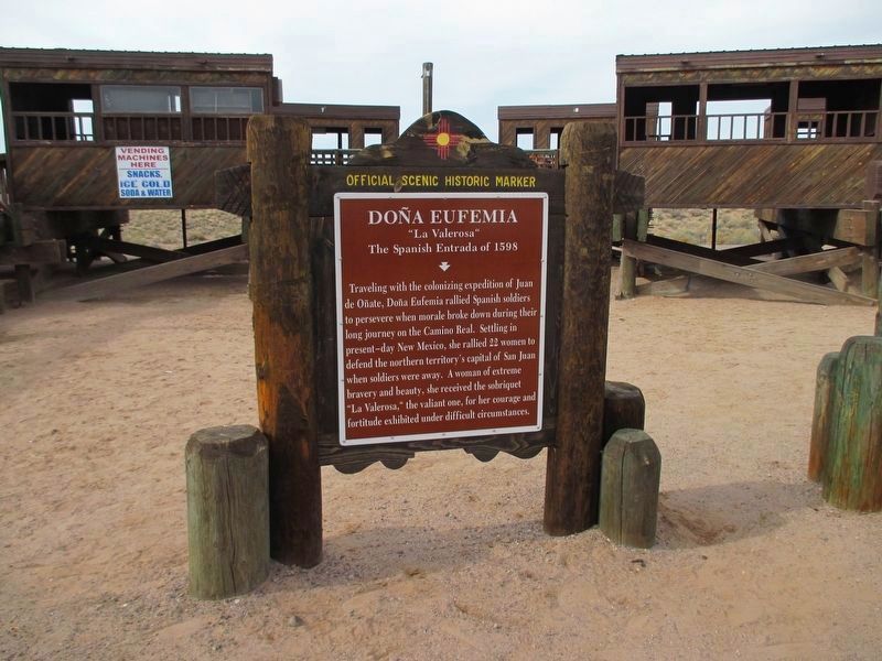
Doņa Eufemia
"La Valerosa"
The Spanish Entrada of 1598
Erected by New Mexico Historic Women Marker Initiative.
Topics and series. This historical marker is listed in these topic lists: Colonial Era • Hispanic Americans • Settlements & Settlers • Women. In addition, it is included in the New Mexico Womens Historic Marker Initiative series list.
Location. 34° 18.342′ N, 106° 53.424′ W. Marker is near San Acacia, New Mexico, in Socorro County. Marker is on Interstate 25, on the right when traveling south. Marker is located at the Walking Sands Rest Area. Touch for map. Marker is in this post office area: San Acacia NM 87831, United States of America. Touch for directions.
Other nearby markers. At least 6 other markers are within 13 miles of this marker, measured as the crow flies. Rio Salado Sand Dunes (within shouting distance of this marker); a different marker also named Rio Salado Sand Dunes (approx. 0.2 miles away); Acomilla (approx. 0.2 miles away); La Joya de Sevilleta (approx. 3.8 miles away); Sabino y Lemitar (approx. 10.3 miles away); Las Nutrias (approx. 13 miles away).
More about this marker. On the west side of the highway (for southbound traffic), this marker is accompanied by a marker for Acomilla. On the east side of the highway (for northbound traffic), the rest area has a marker for Acomilla and a marker for the Rio Salado Sand Dunes.
Regarding Doņa Eufemia. The back side of the marker reads:
The New Mexico Historic Women Marker Initiative was founded in 2005 by members of the New Mexico Women's Forum in a statewide effort to recognize women's contributions to New Mexico history on the state's Official Scenic Historic Markers. The Initiative ensures that women's diverse histories will be remembered and told, and will inspire and provide a guide for future generations. The 2006 Legislature funded the project.
Credits. This page was last revised on November 25, 2019. It was originally submitted on November 28, 2016, by Jennifer W. of Las Cruces, New Mexico. This page has been viewed 1,012 times since then and 71 times this year. Photos: 1. submitted on December 4, 2016, by Jennifer W. of Las Cruces, New Mexico. 2. submitted on November 28, 2016, by Jennifer W. of Las Cruces, New Mexico. • Syd Whittle was the editor who published this page.

