Toccopola in Pontotoc County, Mississippi — The American South (East South Central)
Betty Allen
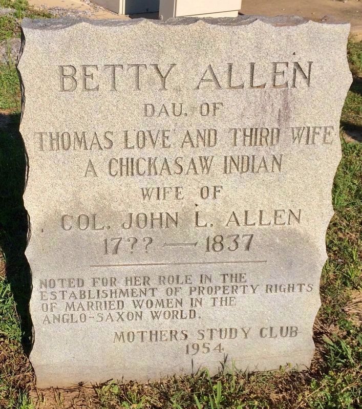
Inscription.
Dau. Of
Thomas Love and Third Wife
A Chickasaw Indian
Wife Of
Col. John L. Allen
17?? — 1837
_______________
Noted for her role in the
establishment of property rights
of married women in the
Anglo-Saxon world.
Erected 1954 by Mothers Study Club.
Topics. This historical marker is listed in these topic lists: Cemeteries & Burial Sites • Native Americans • Women. A significant historical year for this entry is 1837.
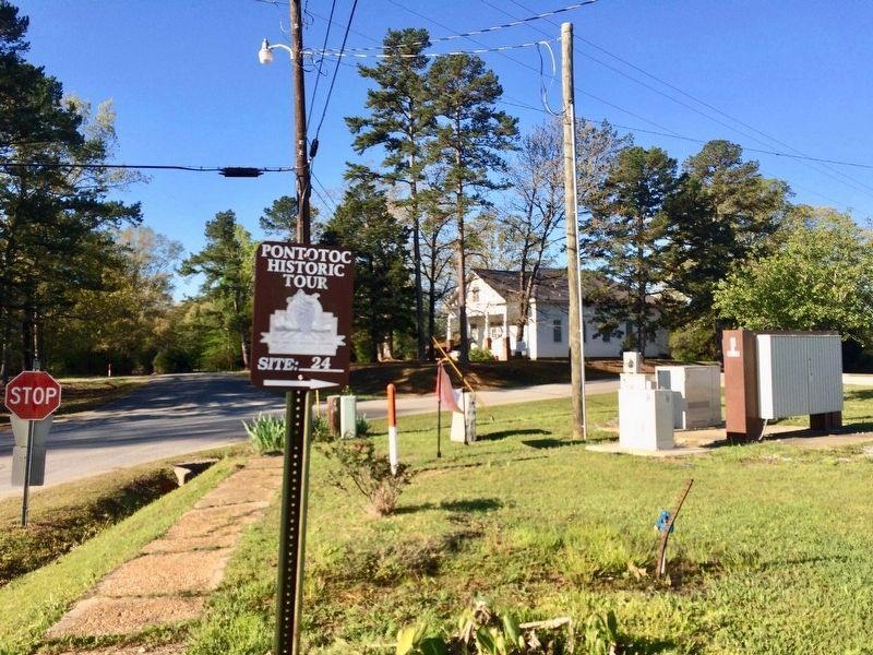
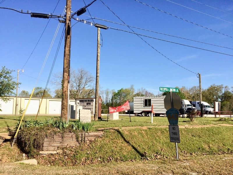
Location. 34° 15.403′ N, 89° 14.152′ W. Marker is in Toccopola, Mississippi, in Pontotoc County. Marker is at the intersection of Toccopola Junction Road (County Road 843) and Toccopola Road (Route 334), on the right when traveling south on Toccopola Junction Road. Touch for map. Marker is at or near this postal address: Toccopola Junction Road, Toccopola MS 38874, United States of America. Touch for directions.
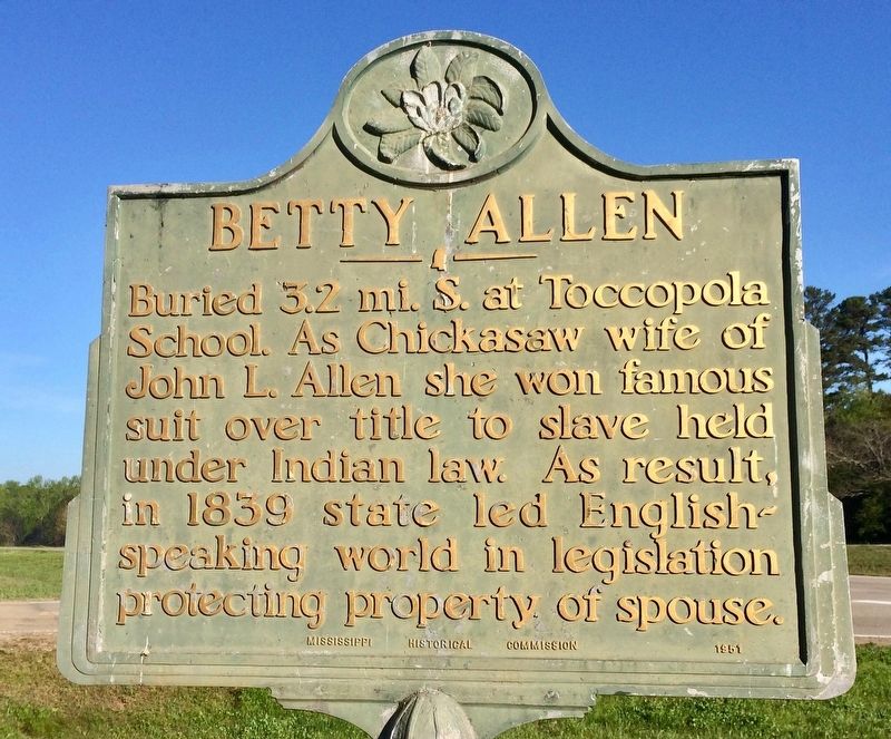
Other nearby markers. At least 5 other markers are within 7 miles of this marker, measured as the crow flies. A different marker also named Betty Allen (approx. 2.8 miles away); Thaxton Cemetery (approx. 5 miles away); Salmon Cemetery (approx. 5.6 miles away); a different marker also named Salmon Cemetery (approx. 5.6 miles away); Randolph School (approx. 6.4 miles away).
Regarding Betty Allen. Thomas Love's third wife was Sally Colbert, a Chickasaw Indian. Betty Love Allen died in 1837, the year of the trial, and was buried in an Indian burying ground outside Toccopola. Later the area was a cow pasture and farm, until 1933 when Toccopola High School students buried her beside the school.
Credits. This page was last revised on December 28, 2020. It was originally submitted on April 13, 2017, by Mark Hilton of Montgomery, Alabama. This page has been viewed 624 times since then and 27 times this year. Photos: 1, 2, 3, 4. submitted on April 13, 2017, by Mark Hilton of Montgomery, Alabama.


