Port Byron in Cayuga County, New York — The American Northeast (Mid-Atlantic)
Glaciers, Drumlins, and High Level Lakes
Port Byron / Old Erie Canal Heritage Park
Inscription.
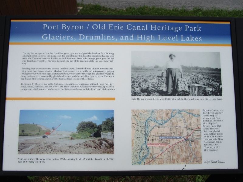
During the ice ages of the last 2 million years, glaciers sculpted the land surface forming, amongst other features, the many rounded and elongated hills called drumlins that are seen from the Thruway between Rochester and Syracuse. From this vantage point you can see one drumlin across the Thruway, the near end cut off to accommodate the interstate highway.
Looking here you can see the success that blossomed from the hopes of New Yorkers spanning more than two centuries. Much of that success is due to the advantageous geography brought about by the ice ages. Natural pathways were carved through the drumlin swarm by long vanished rivers created by glacial meltwaters and the outfalls of glacial lakes. The muck lands and Montezuma Marsh are the final vestiges of one of these lakes.
Beckoned by these remarkable features, generations of engineers utilized them for highways, canals, railroads, and the New York State Thruway. Collectively they made possible a unique and viable connection between the Atlantic seaboard and the heartland of the nation.
New York State Thruway construction 1951, showing Lock 52 and the drumlin with "the near end" being sliced off.
Erie House owner Peter Van Detto at work in the mucklands on his lettuce farm.
Drumlin Swarm - in Port Byron vicinity - 1902 Map of drumlins at Port Byron as shown by the elliptical brown lines. Flat areas devoid of lines are glacial lake bottom deposits and/or meltwater channels. Note how canal, roads, railroads, and Thruway utilize this corridor.
Erected 2016 by New York State Thruway Authority / Canal Corporation.
Topics and series. This historical marker is listed in these topic lists: Man-Made Features • Roads & Vehicles • Waterways & Vessels. In addition, it is included in the Erie Canal series list. A significant historical year for this entry is 1951.
Location. 43° 2.256′ N, 76° 38.03′ W. Marker is in Port Byron, New York, in Cayuga County. Marker can be reached from Interstate 90. The marker is within Erie Canal Heritage Park, an historical interpretive site / rest area off eastbound Interstate 90. Touch for map. Marker is in this post office area: Port Byron NY 13140, United States of America. Touch for directions.
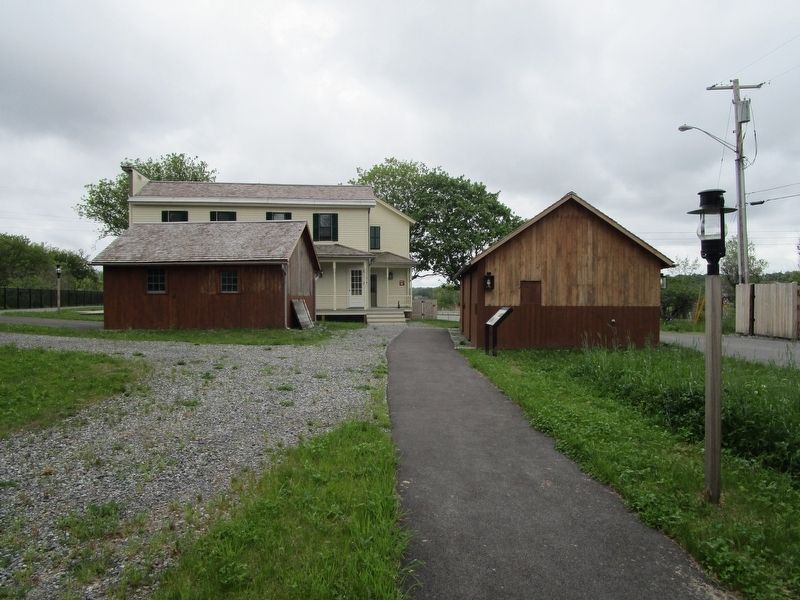
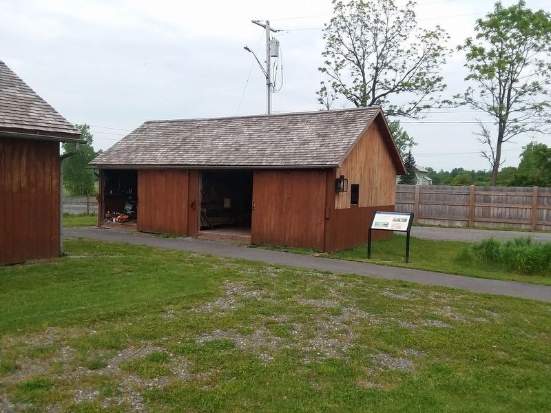
Other nearby markers. At least 8 other markers are within walking distance of this marker. Blacksmith Shop and Mule Shed (a few steps from this marker); The Erie House (within shouting distance of this marker); Tanner's Dry Dock (about 400 feet away, measured in a direct line); The Erie Canal in Port Byron (about 700 feet away); Port Byron's Lock 52 (about 800 feet away); Henry Wells (approx. 0.2 miles away); Brigham Young
(approx. 0.6 miles away); Amos S. King (approx. 0.6 miles away). Touch for a list and map of all markers in Port Byron.
More about this marker. No restrooms or concessions at the park.
Credits. This page was last revised on December 22, 2020. It was originally submitted on May 22, 2017, by Anton Schwarzmueller of Wilson, New York. This page has been viewed 424 times since then and 30 times this year. Photos: 1, 2. submitted on May 22, 2017, by Anton Schwarzmueller of Wilson, New York. 3. submitted on December 11, 2020, by Craig Doda of Napoleon, Ohio.
Editor’s want-list for this marker. A picture of the drumlin with the near end sliced off as described on the marker. • Can you help?


