Vicksburg in Warren County, Mississippi — The American South (East South Central)
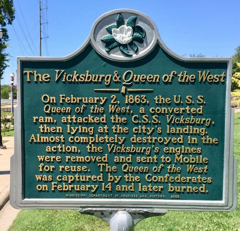
The Vicksburg & Queen of the West
Erected 2003 by the Mississippi Department of Archives and History.
Topics and series. This historical marker is listed in these topic lists: War, US Civil • Waterways & Vessels. In addition, it is included in the Mississippi State Historical Marker Program series list. A significant historical date for this entry is February 2, 1863.
Location. 32° 21.057′ N, 90° 52.991′ W. Marker is in Vicksburg, Mississippi, in Warren County. Marker can be reached from Mulberry Street south of Levee Street. Located in the Catfish Row Art Park, next to the Mississippi levee. Touch for map. Marker is at or near this postal address: 1111 Mulberry Street, Vicksburg MS 39183, United States of America. Touch for directions.
Other nearby markers. At least 8 other markers are within walking distance of this marker. Catfish Row (within shouting distance of this marker); Firing on the A.O. Tyler (within shouting distance of this marker); The Steamer Sultana (within shouting distance of this marker); C.S.S. Arkansas (within shouting distance of this marker); Teddy Roosevelt Bear Hunt (within shouting distance of this marker); Washington Street (within shouting distance of this marker); Crossing the Mississippi (within shouting distance of this marker); Vicksburg Waterfront Circa 1907 (within shouting distance of this marker). Touch for a list and map of all markers in Vicksburg.
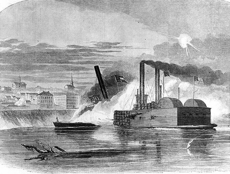
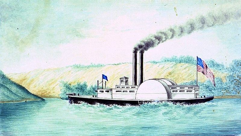
Regarding The Vicksburg & Queen of the West. The City of Vicksburg, a 625-ton side-wheel steamer, was built at New Albany, Indiana, in 1857 for civilian use. She was employed by the Confederacy in 1862-1863 for transport services. On 2 February 1863, while tied up at Vicksburg, Mississippi, the City of Vicksburg was attacked by the U.S. ram Queen of the West and seriously damaged. Her machinery was removed after this incident and later was reported sent to Mobile, Alabama, for installation in another ship. The City of Vicksburg's hulk was used as a wharf boat at Vicksburg until March 29, 1863, when she went adrift, floated down the river and was destroyed by fire.
Also see . . . Wikipedia article on the USS Queen of the West.
(Submitted on May 27, 2017, by Mark Hilton of Montgomery, Alabama.)
Additional keywords. The Vicksburg & Queen of the West

Public domain
4. The Vicksburg & Queen of the West.
The Federal Ram Queen of the West attacking the rebel gun-boat City of Vicksburg off Vicksburg, Mississippi on 2 February 1863.
After ramming the City of Vicksburg, the Queen's forward guns fired combustible balls saturated with turpentine into the ship, but her own cotton cladding caught fire in the conflagration and was forced to withdraw.
Credits. This page was last revised on May 27, 2017. It was originally submitted on May 27, 2017, by Mark Hilton of Montgomery, Alabama. This page has been viewed 310 times since then and 34 times this year. Photos: 1, 2, 3, 4. submitted on May 27, 2017, by Mark Hilton of Montgomery, Alabama.


