Old Pleasant Hill in De Soto Parish, Louisiana — The American South (West South Central)
The Village of Pleasant Hill
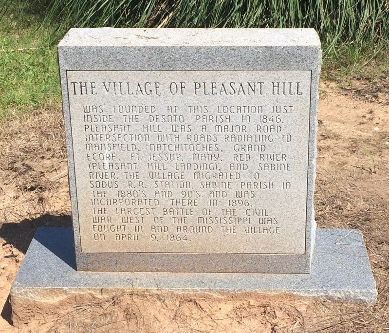
Front
The Village of Pleasant Hill was founded at this location just inside the DeSoto Parish in 1846. Pleasant Hill was a major road intersection with roads radiating to Mansfield, Natchitoches, Grand Ecore, Ft. Jessup, Many, Red River (Pleasant Hill Landing), and Sabine River. The village migrated to Sodus R.R. Station, Sabine Parish in the 1880's and 90's and was incorporated there in 1896. The largest battle of the Civil War west of the Mississippi was fought in and around the village on April 9, 1864.
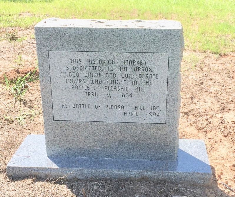
Rear
This Historical Marker is dedicated to the approx. 40,000 Union and Confederate troops who fought in the Battle of Pleasant Hill
Erected 1994 by The Battle of Pleasant Hill, Inc.
Topics. This historical marker is listed in these topic lists: Roads & Vehicles • Settlements & Settlers • War, US Civil • Waterways & Vessels. A significant historical date for this entry is April 9, 1846.
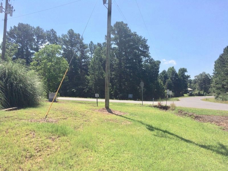
Location. 31° 51.156′ N, 93° 30.692′ W. Marker is in Old Pleasant Hill, Louisiana, in De Soto Parish. Marker is at the intersection of Louisiana Route 175 and Louisiana Route 177, on the right when traveling north on State Route 175. Touch for map. Marker is at or near this postal address: 23541 LA-175, Pelican LA 71063, United States of America. Touch for directions.
Other nearby markers. At least 8 other markers are within walking distance of this marker. Dr. and Mrs. C.E. "Gene" Poimboeuf (about 600 feet away, measured in a direct line); Account of the Battle of Pleasant Hill (about 600 feet away); Pleasant Hill Battle Park (about 700 feet away); Battle of Pleasant Hill Memorial (about 700 feet away); The Old Cistern (about 700 feet away); War for Southern Independence (about 700 feet away); Old Pleasant Hill (about 700 feet away); Confederate Soldiers Monument (about 700 feet away). Touch for a list and map of all markers in Old Pleasant Hill.
Credits. This page was last revised on July 16, 2017. It was originally submitted on July 16, 2017, by Mark Hilton of Montgomery, Alabama. This page has been viewed 734 times since then and 138 times this year. Photos: 1, 2, 3, 4. submitted on July 16, 2017, by Mark Hilton of Montgomery, Alabama.


