Glasgow near Newark in New Castle County, Delaware — The American Northeast (Mid-Atlantic)
In the Beginning …
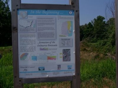
Formation of the Delmarva Peninsula
[caption at upper left] A 250 million year old fossilized sea shell found in the Pencader Area
Delaware is the second smallest state in the country. However, we played an important role in the formation of the nation. Caesar Rodney rode from Lewes to Philadelphia to cast the deciding vote for independence in 1776. We were the first state to ratify the Constitution in 1787.
Piedmont Rocks (Crystaline Rocks):
Metamorphosed (changed by pressure and heat) sedimentary rocks of the ancient North American Continent and adjacent ocean basin.
Wilmington Complex:
Igneous (formed by molten rock) and metamorphic rocks of a volcanic island arc that collided with the ancient North American continent during the convergence of tectonic plates (that formed the super coastal continent.)
Atlantic Costal Plain Rocks:
Sedimentary rocks of the Cretaceous Period (230 million to 63 million years ago)deposited over the eroded surface of the metamorphic basement rocks after North America drifted away from Africa and Europe to form the Atlantic Ocean basin.
[Center Column]
From Pencader Hundred shipping was possible by either the Delaware River or the Chesapeake Bay.
One third of the population of the United States now lives within a day's drive of Pencader Hundred.
The shortest distance overland between the Delaware River Watershed and the Chesapeake Bay was through Pencader hundred which made this area the hub of Mid-Atlantic travel.
The Native Americans used the rivers in the two watersheds to travel from the Piedmont to the Costal Plain for food gathering and the trading of furs and materials such as jasper from Iron Hill. Their trails passed through Pencader.
As European settlements grew into cities, Pencader remained a center point, lying midway between Philadelphia and Baltimore. new York and Washington, Boston and Richmond. Thus, travelers between these early urban centers passed through the area on their way to and from these early centers of commerce. Much of today's commerce follows the same early routes.
[Right Column]
Fall Line
The Christina drops 350 feet in 15 miles from its source near Kemblesville, Pennsylvania to Smalley's Dam. This provided the water power to operate grist and saw mills.
Topics. This historical marker is listed in these topic lists: Colonial Era • Environment • Native Americans • Settlements & Settlers. A significant historical year for this entry is 1776.
Location. 39° 38.462′ N, 75° 43.941′ W. Marker is near Newark, Delaware, in New Castle County. It is in Glasgow. Marker is on Dayett Mill Road south of Old Baltimore Pike, on the right when traveling south. Written 26 September 2020: Could not find this marker at this location, but it might occur elsewhere.
However, much of this marker might be found on the Geokogy marker. Touch for map. Marker is at or near this postal address: 934 Dayett Mill Rd, Newark DE 19702, United States of America. Touch for directions.
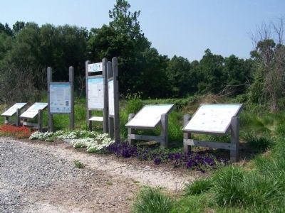
Other nearby markers. At least 8 other markers are within walking distance of this marker. The Battle of Cooch’s Bridge (here, next to this marker); Delaware's Field of Valor (here, next to this marker); Enjoy the Pencader Area Today (here, next to this marker); Geology (here, next to this marker); Mason Dixon Line & the Boundaries of Delaware (here, next to this marker); Your Gateway to Pencader Heritage (here, next to this marker); Milling in Pencader Hundred (here, next to this marker); Pencader Heritage Museum (here, next to this marker). Touch for a list and map of all markers in Newark.
Regarding In the Beginning …. Wilmington Complex: This text ends with an unmatched right parenthesis.
Atlantic Costal Plain Rocks: Title should have used "Coastal", not "Coastal". Spelling occurs later in reference to Native Americans.
Credits. This page was last revised on December 31, 2023. It was originally submitted on August 30, 2008, by Bill Pfingsten of Bel Air, Maryland. This page has been viewed 2,390 times since then and 24 times this year. Last updated on October 19, 2020, by Carl Gordon Moore Jr. of North East, Maryland. Photos: 1, 2. submitted on August 30, 2008, by Bill Pfingsten of Bel Air, Maryland.

