Bayou Teche
Magnolia Park
— Atchafalaya Water Heritage Trail —
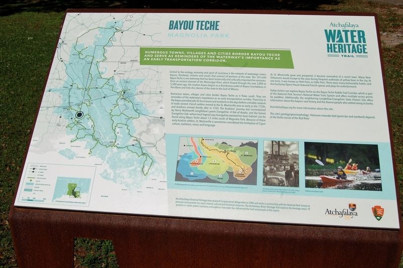
Numerous towns, villages and cities border Bayou Teche and serve as reminders of the waterway's importance as an early transportation corridor.
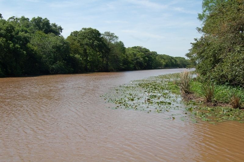
Central to the ecology, economy and spirit of Louisiana is the network of waterways—rivers, bayous, floodways, streams and canals—that connect all portions of the state. The 125-mile Bayou Teche is one waterway that has been historically and culturally important for centuries. Once an ancient channel of the Mississippi River, which flowed through the area 3,800 to 5,500 years ago, the modern bayou begins as a distributary outlet of Bayou Courtableau in Port Barre and links the interior of the state to the Gulf of Mexico.
Numerous towns, villages and cities border Bayou Teche as it flows south. They are reminders of the waterway’s importance as an early transportation corridor. Proximity to the bayou provided jobs for businesses and residents in the days before a reliable network of roads existed. French settlers moved to the St. Martinville area as early as the 1750s, and Acadians arrived shortly after in 1765. The Acadians’ journey was immortalized by Henry Wadsworth Longfellow’s poem Evangeline: A Tale of Acadia, and the famed Evangeline Oak—where local legend says Evangeline awaited her lover Gabriel—can be found along Bayou Teche about 1.5 miles
south of Magnolia Park. Because of these early Acadian settlers, St. Martinville is sometimes considered the birthplace of Cajun culture, traditions, music and language.As St. Martinville grew and prospered, it became somewhat of a resort town. Many New Orleanians would escape to the area during frequent outbreaks of yellow fever in the city. At one time, it was known as Petit Paris, or Little Paris. There were many fashionable hotels, and the Duchamp Opera House featured French operas and plays for entertainment.
Today visitors can explore Bayou Teche via the Bayou Teche Paddle Trail Corridor, which is part of the National Park Service’s National Water Trails System and offers multiple access points for paddlers. Additionally, the neighboring Longfellow-Evangeline State Historic Site offers information about the bayou’s vast history and the diverse people who settled along its banks.
Visit Atchafalaya.org for more information about this site.
This site’s geology/geomorphology: Holocene meander-belt (point bar and overbank) deposits of the Teche course of the Red River.
Erected by State of Louisiana and National Park Service.
Topics and series. This historical marker is listed in these topic lists: Environment • Parks & Recreational Areas
Location. 30° 8.309′ N, 91° 49.059′ W. Marker is in St. Martinville, Louisiana, in St. Martin Parish. Marker is on Magnolia Drive (State Road 736) one mile east of North Main Street (State Highway 31). Touch for map. Marker is in this post office area: Saint Martinville LA 70582, United States of America. Touch for directions.
Other nearby markers. At least 8 other markers are within 2 miles of this marker, measured as the crow flies. Maison Olivier (approx. half a mile away); Attakapa Indian (approx. 1.2 miles away); Deportation Cross (approx. 1.2 miles away); On This Site Lie Buried Officers of The Attakapas Militia (approx. 1.2 miles away); Evangeline Monument (approx. 1.2 miles away); St. Martin Catholic Church (approx. 1.3 miles away); Ange Marie Jan (approx. 1.3 miles away); Oak and Pine Alley (approx. 1.3 miles away). Touch for a list and map of all markers in St. Martinville.
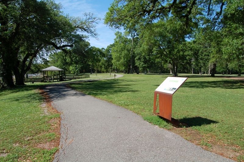
More about this marker. Located at the boat launch terminus of State Road 736, inside Magnolia park.
Credits. This page was last revised on February 24, 2024. It was originally submitted on March 31, 2018, by Cajun Scrambler of Assumption, Louisiana. This page has been viewed 279 times since then and 26 times this year. Photos: 1, 2, 3. submitted on March 31, 2018.


