Winslow in Kennebec County, Maine — The American Northeast (New England)
Fort Halifax
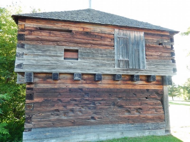
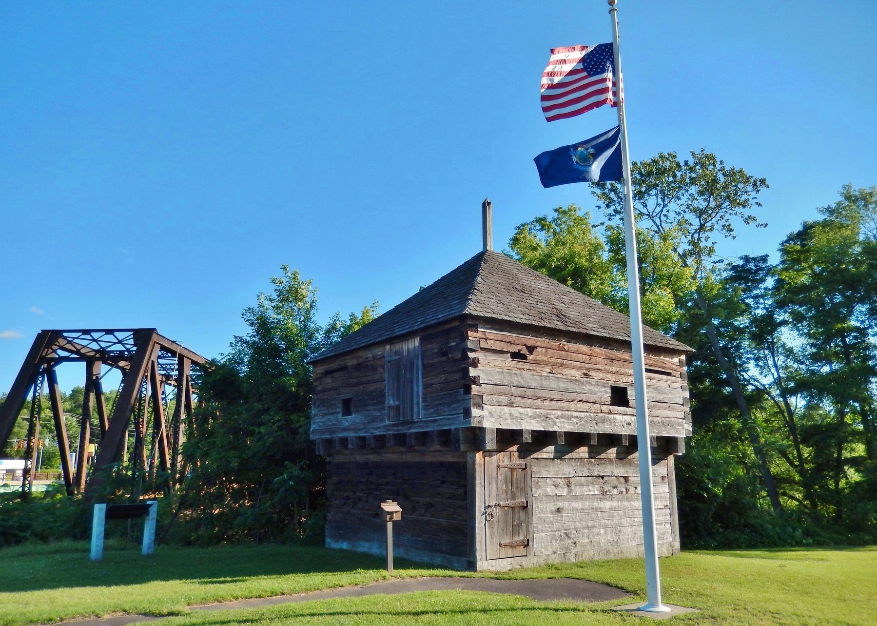
Oldest Blockhouse in the United States
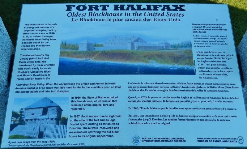
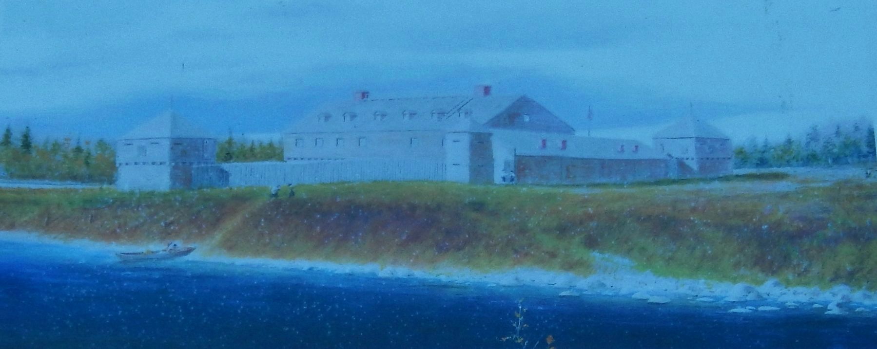
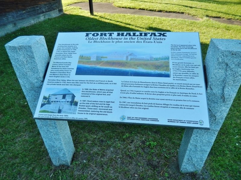
This blockhouse is the only building that remains of a larger fort complex, built by British-Americans in 1754-1755, to defend the upper Kennebec River Valley from possible attack by the French and their Native American allies.
The Massachusetts Bay Colony (which included Maine at the time) felt threatened by these enemies who could easily travel via Quebec's Chaudiere River and Maine's Dead River to reach English lands in the Kennebec River Valley. When the war between the British and French in North America ended in 1763, there was little need for the fort as a military post, so it fell into private hands and later into disrepair.
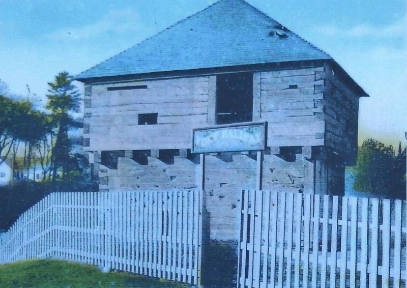
In 1966, the State of Maine acquired this blockhouse, which was all that remained of the original fort, and restored it.
In 1987, flood waters rose to eight feet up the side of the fort and its logs floated apart, drifting as far south as Dresden. These were recovered and reassembled, restoring the old block-house to its original appearance.
Erected by Maine Department of Conservation, Bureau of Parks and Lands.
Topics. This historical marker is listed in these topic lists: Colonial Era • Forts and Castles • Native Americans • War, French and Indian. A significant historical year for this entry is 1754.
Location. 44° 32.354′ N, 69° 37.73′ W. Marker is in Winslow, Maine, in Kennebec County. Marker can be reached from Halifax Street (U.S. 201) 0.2 miles north of China Road (Maine Route 137), on the left when traveling north. Marker is located within the Fort Halifax National Historic Site, near east side of the historic blockhouse. Touch for map. Marker is in this post office area: Waterville ME 04901, United States of America. Touch for directions.
Other nearby markers. At least 8 other markers are within 4 miles of this marker, measured as the crow flies. Fort Halifax Park (within shouting distance of this marker); Immigration (approx. 0.6 miles away); Lombard Log Hauler (approx. 0.6 miles away); The Two Cent Bridge (approx. 0.8 miles away); Waterville Maine WWI Marker (approx. 0.8 miles away); Waterville Maine Veteran's Park (approx. 0.8 miles away); Waterville Maine Civil War Memorial (approx. 0.8 miles away); Heritage of the Kennebec River (approx. 3.6 miles away).
More about this marker. The marker inscription is printed in both English and French.
Regarding Fort Halifax. Part of the Kennebec Chaudiere International Heritage Corridor.
Related markers. Click here for a list of markers that are related to this marker. Fort Halifax National Historic Site
Also see . . .
1. Fort Halifax on the Kennebec.
Fort Halifax, as it existed in 1755, included two main blockhouses, a barracks, and a main
building, as well as two additional blockhouses overlooking the area from atop a nearby hill.
After five days of difficult travel by river and land from Fort Western (in present-day Augusta), Major General John Winslow arrived here with a force of 600 to establish Fort Halifax on July 25, 1754. (Submitted on April 11, 2018, by Cosmos Mariner of Cape Canaveral, Florida.)
2. French and Indian War. On July 25, 1754, Major General John Winslow arrived with a force of 600 soldiers to establish the fort at the confluence of the Kennebec River with the Sebasticook River. The palisaded defense was intended to prevent Canadiens and their Native American allies from using the Kennebec River valley as a route to attack English settlements. Further, Massachusetts was extending its border into the former region of Acadia and threatening the capital of Canada, Quebec. (Submitted on April 11, 2018, by Cosmos Mariner of Cape Canaveral, Florida.)
Credits. This page was last revised on April 12, 2018. It was originally submitted on April 10, 2018, by Cosmos Mariner of Cape Canaveral, Florida. This page has been viewed 320 times since then and 15 times this year. Photos: 1, 2, 3, 4, 5, 6. submitted on April 10, 2018, by Cosmos Mariner of Cape Canaveral, Florida. • Bill Pfingsten was the editor who published this page.
