Near Dawson in Terrell County, Georgia — The American South (South Atlantic)
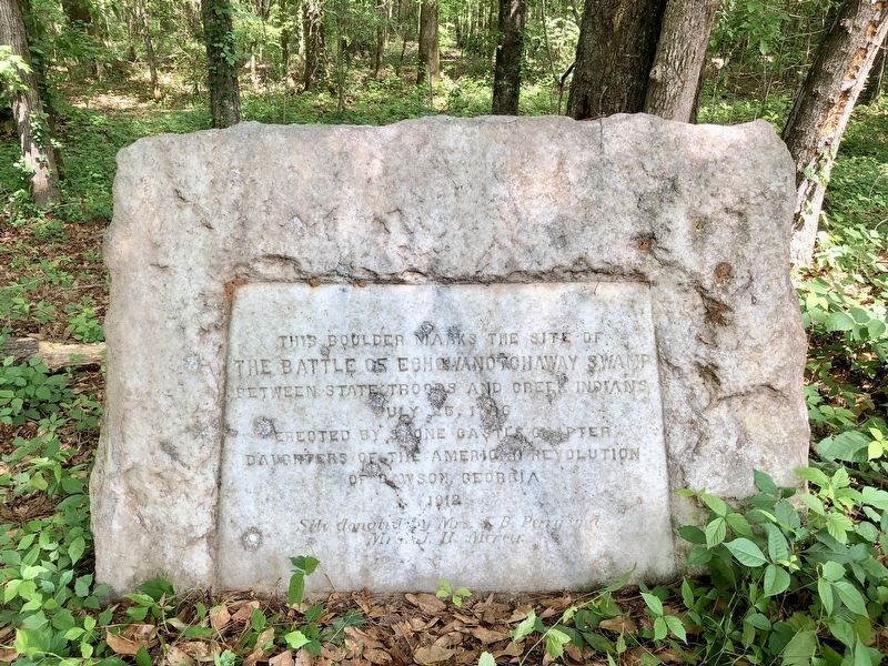
Battle of Echowanotchaway Swamp Monument
The Battle of Echowanotchaway Swamp
between State Troops and Creek Indians
July 25, 1836
Erected 1912 by Stone Castle Chapter Daughters of the American Revolution of Dawson, Georgia.
Topics and series. This historical marker and monument is listed in these topic lists: Native Americans • Wars, US Indian • Waterways & Vessels. In addition, it is included in the Daughters of the American Revolution series list. A significant historical date for this entry is July 25, 1836.
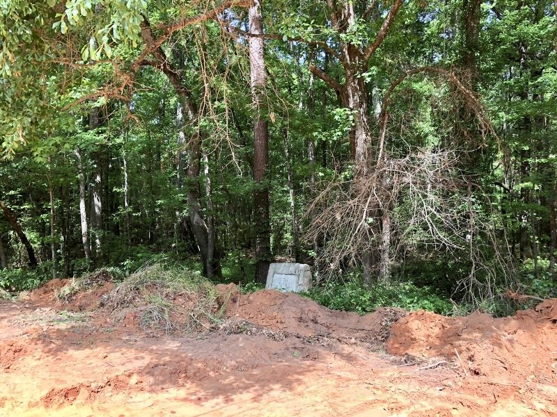
Location. 31° 49.561′ N, 84° 33.966′ W. Marker is near Dawson, Georgia, in Terrell County. Marker can be reached from Old Fields Road (County Route 53) north of West Lee Street (County Road 141), on the left when traveling north. Touch for map. Marker is at or near this postal address: Old Fields Road, Dawson GA 39842, United States of America. Touch for directions.
Other nearby markers. At least 8 other markers are within 8 miles of this marker, measured as the crow flies. Battle of Echowanotchaway Swamp (approx. 0.2 miles away); Battleground of Echowanochaway Creek (approx. 4 miles away); 1827 Site of Chenube Indian Village (approx. 5.4 miles away); Shellman Georgia Legend (approx. 5.6 miles away); Gen. Patrick Cleburne Camp, S.C.V. (approx. 7.8 miles away); Confederate Gun Shop (approx. 7.8 miles away); Terrell County (approx. 7.9 miles away); To The Memory of James Mathews Griggs (approx. 8 miles away). Touch for a list and map of all markers in Dawson.
Related markers. Click here for a list of markers that are related to this marker. Note the different spellings on the markers, monument and nearby creek.
Credits. This page was last revised on May 5, 2018. It was originally submitted on May 5, 2018, by Mark Hilton of Montgomery, Alabama. This page has been viewed 511 times since then and 46 times this year. Photos: 1, 2, 3. submitted on May 5, 2018, by Mark Hilton of Montgomery, Alabama.


