Near Canute in Washita County, Oklahoma — The American South (West South Central)
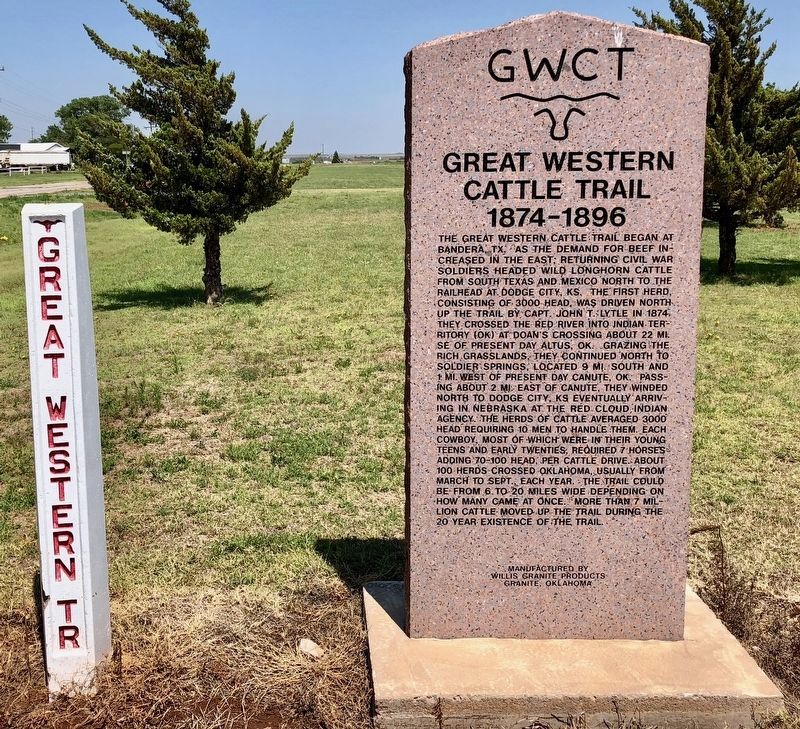
Great Western Cattle Trail
1874–1896
— GWCT —
Inscription.
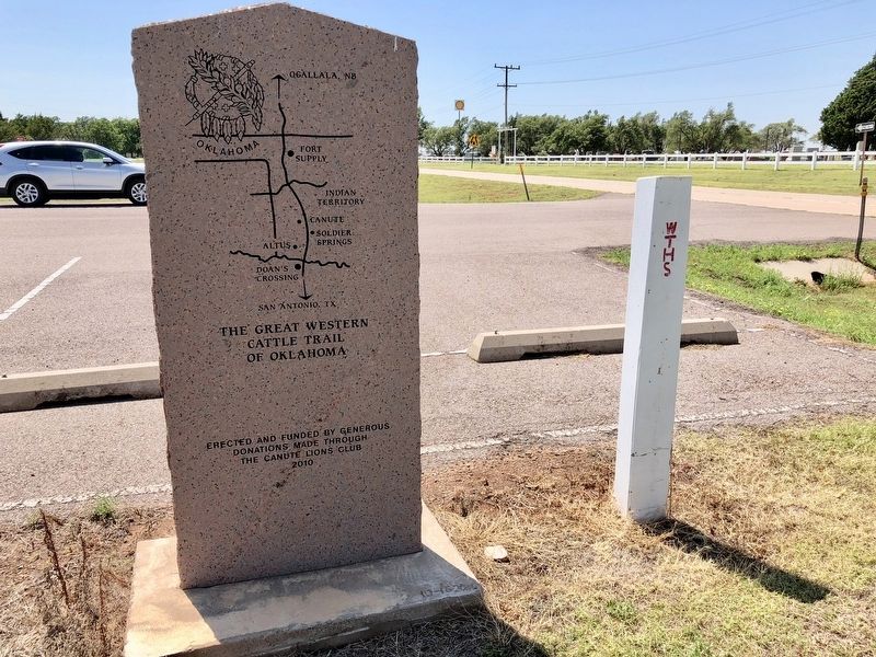
The Great Western Cattle Trail began at Bandera, TX. As the demand for beef increased in the east, returning Civil War soldiers headed wild longhorn cattle from south Texas and Mexico north to the railhead at Dodge City, KS. The first herd consisting of 3000 head, was driven north up the trail by Capt. John T. Lytle in 1874. They crossed the Red River into Indian territory (OK) at Doan’s Crossing about 22 miles S.E. of present day Altus, OK. Grazing the rich grassland, they continued north to Soldier Springs, located 9 miles south and 1 mile west of present day Canute, OK. Passing about 2 miles east of Canute, they winded north to Dodge City, KS. Eventually arriving in Nebraska at the Red Cloud Indian Agency. The herds of cattle averaged 3,000 head requiring 10 men to handle them. Each cowboy, most in their teens or early twenties, required 7 horses adding 70-100 head, per cattle drive. About 100 herds crossed Oklahoma, usually from March to Sept., each year. The trail could be from 6 to 20 miles wide depending on how many came at once. More than 7 million cattle moved up the trail during the 20 year existence of the trail.
Erected 2010 by Canute Lions Club.
Topics. This historical marker is listed in these topic lists: Animals • Native Americans • Roads & Vehicles • War, US Civil.
Location. 35° 25.309′ N, 99° 16.288′ W. Marker is near Canute, Oklahoma, in Washita County. Marker can be reached from Old U.S. 66, 0.3 miles east of County Road N2080, in the median. Located near the Holy Family Cemetery. Touch for map. Marker is in this post office area: Canute OK 73626, United States of America. Touch for directions.
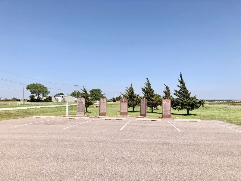
Other nearby markers. At least 8 other markers are within 10 miles of this marker, measured as the crow flies. St. Francis Church (here, next to this marker); David Lee Walters (here, next to this marker); Canute (here, next to this marker); Canute Centennial (a few steps from this marker); Commotion (approx. 9.3 miles away); 1950's Model Train Replica of Elk City's Downtown District (approx. 9.3 miles away); The Anadarko Basin (approx. 9.3 miles away); Rock Bluff School (approx. 9.3 miles away). Touch for a list and map of all markers in Canute.
Also see . . . Wikipedia article on the Great Western Cattle Trail. (Submitted on July 11, 2018, by Mark Hilton of Montgomery, Alabama.)
Credits. This page was last revised on July 15, 2018. It was originally submitted on July 10, 2018, by Mark Hilton of Montgomery, Alabama. This page has been viewed 446 times since then and 41 times this year. Photos: 1, 2, 3. submitted on July 11, 2018, by Mark Hilton of Montgomery, Alabama.


