Near Crystal Falls in Iron County, Michigan — The American Midwest (Great Lakes)
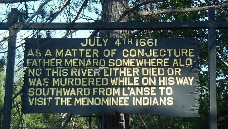
July 4th 1661
As a matter of conjecture
Father Menard somewhere along
this river either died or
was murdered while on his way
southward from L’Anse to
visit the Menominee Indians
Topics. This historical marker is listed in these topic lists: Churches & Religion • Colonial Era • Native Americans • Notable Events. A significant historical date for this entry is July 4, 1661.
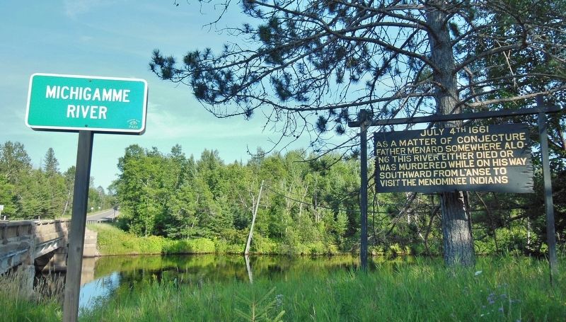
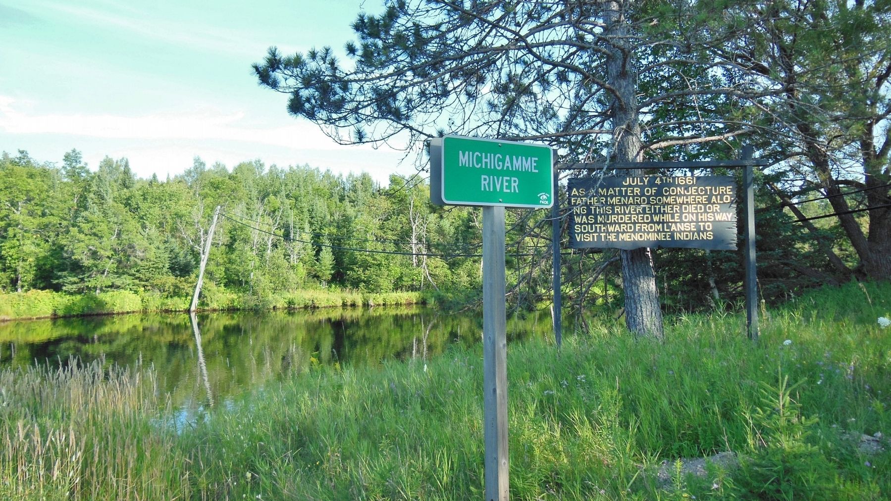
Location. 46° 5.016′ N, 88° 13.413′ W. Marker is near Crystal Falls, Michigan, in Iron County. Marker is on East Superior Avenue (State Highway 69) 5.9 miles east of South 5th Street, on the right when traveling east. Marker is located on the south side of the highway near the west bank of the Michigamme River, facing west. Touch for map. Marker is at or near this postal address: 2181 Michigan Highway 69, Crystal Falls MI 49920, United States of America. Touch for directions.
Other nearby markers. At least 3 other markers are within 6 miles of this marker, measured as the crow flies. Iron County Courthouse (approx. 5.4 miles away); Iron County (approx. 5.4 miles away); Finnish Pioneers (approx. 5.4 miles away).
More about this marker. Marker is a large, painted, wooden "billboard-style" marker.
Related markers. Click here for a list of markers that are related to this marker. The Death of Father Rene Menard
Also see . . . The Search for Wisconsin's First Priest. In the fall of 1660, Father Rene Menard, the first missionary to Wisconsin, traveled the Great Lakes with fur traders. He made it as far as Lake Superior when his birchbark canoe was irretrievably damaged just as winter set in. He survived at modern L'Anse, Michigan, with the help of voyageurs and local Indians. In 1661, guided by a Frenchman named L'Esperance who had already made the trip, he threaded the streams northwest of modern Wausau. When they were within one day of their destination, Father Menard left the canoe to make a short portage while L'Esperance shot the rapids. Father Menard was never seen again. (Submitted on October 16, 2018, by Cosmos Mariner of Cape Canaveral, Florida.)
Credits. This page was last revised on October 19, 2018. It was originally submitted on October 16, 2018, by Cosmos Mariner of Cape Canaveral, Florida. This page has been viewed 360 times since then and 15 times this year. Photos: 1, 2, 3. submitted on October 16, 2018, by Cosmos Mariner of Cape Canaveral, Florida. • Andrew Ruppenstein was the editor who published this page.


