St. Marks in Wakulla County, Florida — The American South (South Atlantic)
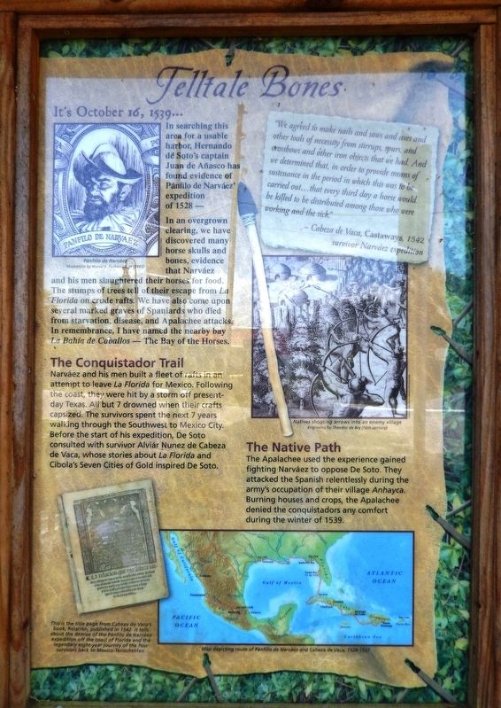
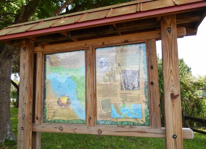
Telltale Bones
Florida De Soto Trail
ó October 16, 1539 ó
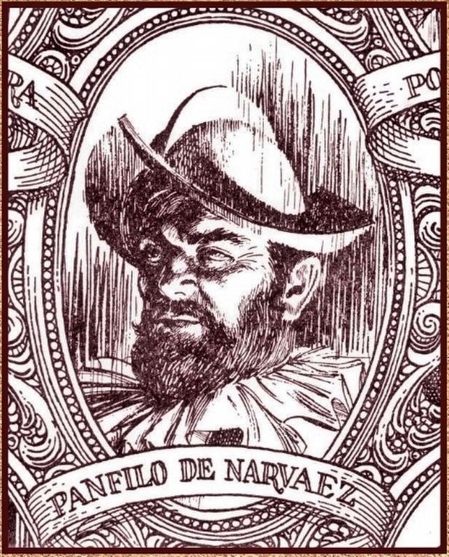
In searching this area for a usable harbor, Hernando de Sotoís captain Juan de Anasco has found evidence of PŠnfilo de NarvŠezí expedition of 1528Ö
In an overgrown clearing, we have discovered many horse skulls and bones, evidence that NarvŠez and his men slaughtered their horses for food. The stumps of trees tell of their escape from La Florida on crude rafts. We have also come upon several marked graves of Spaniards who died from starvation, disease, and Apalachee attacks. In remembrance, I have named the nearby bay La Bahia de Caballos - The Bay of the Horses.
The Conquistador Trail
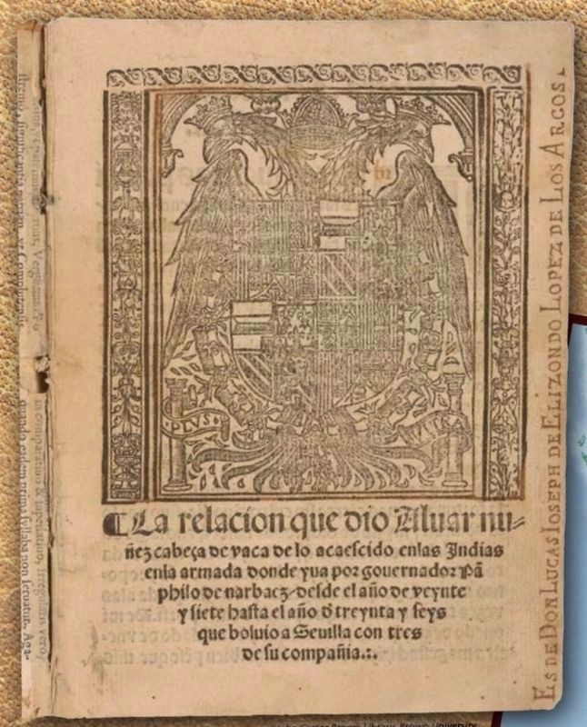
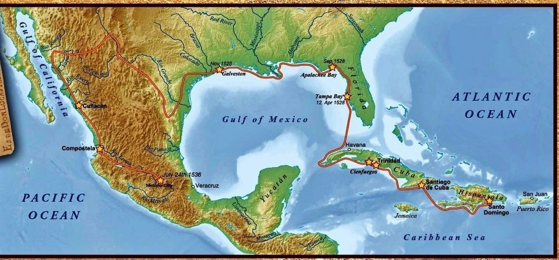
NarvŠez and his men built a fleet of rafts in an attempt to leave La Florida for Mexico. Following the coast, they were hit by a storm off present-day Texas. All but 7 drowned when their crafts capsized. The survivors spent the next 7 years walking through the Southwest to Mexico City. Before the start of his expedition, De Soto consulted with survivor Alvar NuŮez Cabeza de Vaca, whose stories about La Florida and Cibolaís Seven Cities of Gold inspired De Soto.
”We agreed to make nails and saws and axes and other tools of necessity from stirrups, spurs, and crossbows and other iron objects that we had. And we determined that, in order to provide means of sustenance in the period in which this was to be carried outÖ that every third day a horse would be killed to be distributed among those who were working and the sick.”
- NuŮez Cabeza de Vaca, Castaways, 1542,
survivor NarvŠez expedition
The Native Path
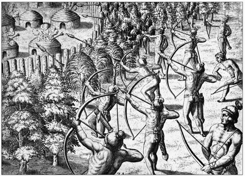
The Apalachee used the experience gained fighting NarvŠez to oppose De Soto. They attacked the Spanish relentlessly during the armyís occupation of their village Anhayca. Burning houses and crops, the Apalachee denied the conquistadors any comfort during the winter of 1539.
Erected by Florida De Soto Trail, Florida Department of Transportation, the Florida Park Service, and the National Park Service. (Marker Number 32.)
Topics. This historical marker is listed in these topic lists: Colonial Era • Exploration • Native Americans • Notable Events. A significant historical date for this entry is October 16, 1539.
Location. 30° 9.257′ N, 84° 12.257′ W. Marker is in St. Marks, Florida, in Wakulla County. Marker is on Riverside Drive, 0.1 miles west of Port Leon Drive (State Road 363), on the left when traveling west. Marker is located on the south side of Riverside Drive, adjacent to the Saint Marks - Tallahassee Rail Trail parking area, and directly across the street from
the trailhead. Touch for map. Marker is in this post office area: Saint Marks FL 32355, United States of America. Touch for directions.
Other nearby markers. At least 8 other markers are within walking distance of this marker. Port Leon (a few steps from this marker); Bo Lynn's Grocery (about 300 feet away, measured in a direct line); St. Marks Bike Trail Park (about 700 feet away); The City of St. Marks (approx. ľ mile away); San Marcos de Apalache (approx. 0.4 miles away); The Old Store on the Wakulla River (approx. 0.4 miles away); Fort St. Marks Military Cemetery (approx. 0.4 miles away); Fort San Marcos de Apalache (approx. 0.4 miles away). Touch for a list and map of all markers in St. Marks.
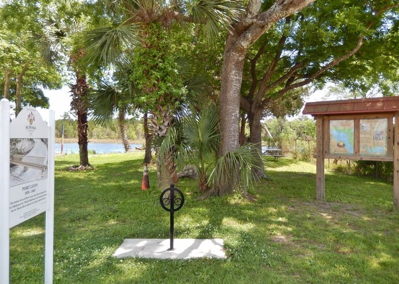
More about this marker. Marker is a large, composite plaque mounted vertically within a heavy-duty wooden kiosk.
Related markers. Click here for a list of markers that are related to this marker. Florida De Soto Trail
Also see . . . The Misadventures of PŠnfilo de NarvŠez and NuŮez de Cabeza de Vaca. PŠnfilo de NarvŠez arrived near Tampa Bay with a large army from Spain on April 14, 1528. The Spanish government had given him permission to settle and rule the land along the Gulf Coast from Northern Mexico to the Florida peninsula. When NarvŠez landed, he took three hundred soldiers and forty horses with him to explore the interior of the state. The ships, which were carrying food and supplies,
were sent ahead to a harbor north of where they had originally landed.
This turned out to be a terrible mistake. Instead of landing at the harbor described by NarvŠez, the ships landed somewhere else. NarvŠez and his men waited for the ships at the harbor where NarvŠez intended the ships to have landed, but the ships could never find him and his men. The ships' captains searched up and down the coast for almost a year, then gave up and returned to Spain. (Submitted on October 25, 2018, by Cosmos Mariner of Cape Canaveral, Florida.)
Photographed By Cosmos Mariner, May 14, 2014
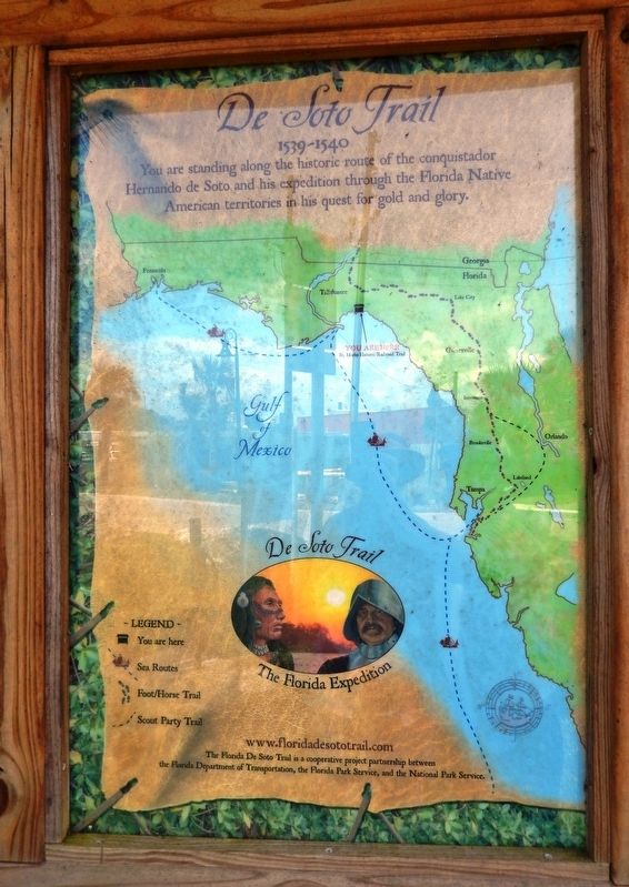
6. De Soto Trail Map (panel to the left of marker in kiosk)
1539-1540
Credits. This page was last revised on January 14, 2021. It was originally submitted on October 25, 2018, by Cosmos Mariner of Cape Canaveral, Florida. This page has been viewed 1,036 times since then and 123 times this year. Last updated on November 21, 2018, by Cosmos Mariner of Cape Canaveral, Florida. Photos: 1, 2. submitted on October 25, 2018, by Cosmos Mariner of Cape Canaveral, Florida. 3, 4. submitted on November 4, 2018, by Cosmos Mariner of Cape Canaveral, Florida. 5, 6, 7, 8. submitted on October 25, 2018, by Cosmos Mariner of Cape Canaveral, Florida. • Bernard Fisher was the editor who published this page.
