Great Falls in Cascade County, Montana — The American West (Mountains)
Pure Springs Along the Missouri River
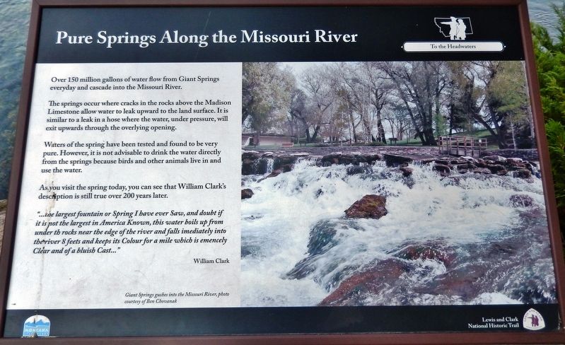
The springs occur where cracks in the rocks above the Madison Limestone allow water to leak upward to the land surface. It is similar to a leak in a hose where the water, under pressure, will exit upwards through the overlying opening.
Waters of the spring have been tested and found to be very pure. However, it is not advisable to drink the water directly from the springs because birds and other animals live in and use the water.
As you visit the spring today, you can see that William Clark's description is still true over 200 years later:
“…largest fountain or Spring I have ever Saw, and doubt if it is not the largest in America Known, this water boils up from under th rocks near the edge of the river and falls imediately into the river 8 feets and keeps its Colour for a mile which is emencely Clear and of a bluish Cast…”
William Clark
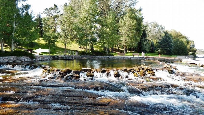
Marker photo caption: Giant Springs gushes into the Missouri River, photo courtesy of Ben Chovanak
Erected by Lewis and Clark National Historic Trail.
Topics and series. This historical marker is listed in these topic lists: Exploration • Natural Features • Parks & Recreational Areas • Waterways & Vessels. In addition, it is included in the Lewis & Clark Expedition series list. A significant historical date for this entry is June 18, 1805.
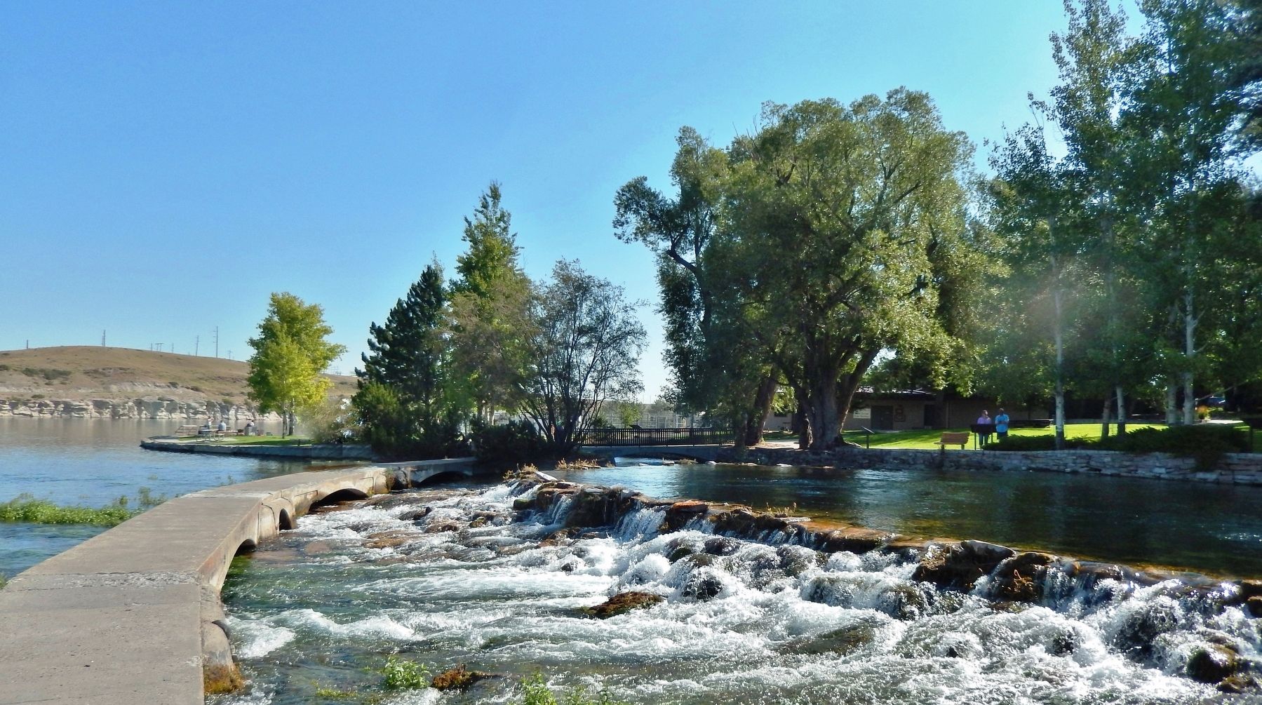
Location. 47° 32.06′ N, 111° 13.798′ W. Marker is in Great Falls, Montana, in Cascade County. Marker can be reached from Giant Springs Road, 1.3 miles north of River Drive North, on the left when traveling north. Marker is located in Giant Springs State Park, along the Giant Springs interpretive trail, overlooking Giant Springs, the Roe River, and the Missouri River. Touch for map. Marker is at or near this postal address: 4803 Giant Springs Road, Great Falls MT 59405, United States of America. Touch for directions.
Other nearby markers. At least 8 other markers are within walking distance of this marker. These Springs Have Witnessed... (a few steps from this marker); Where Does the Water Come From? (a few steps from this marker); The Smallest River Runs Through It (within shouting distance of this marker); Giant Fountain (within shouting distance of this marker); Of Special Concern (approx. 0.2 miles away); One of Many Firsts (approx. ¼ mile away); The Army's Navy
(approx. 0.4 miles away); A "great" Set of Falls (approx. 0.4 miles away). Touch for a list and map of all markers in Great Falls.
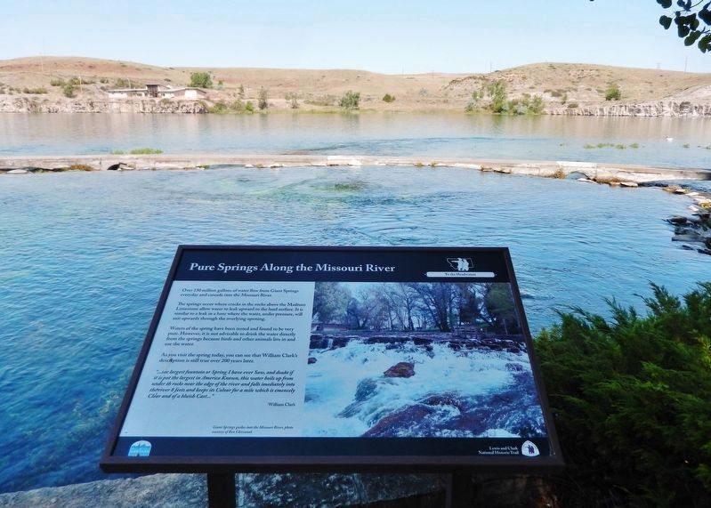
More about this marker. Marker is a large composite plaque, mounted horizontally on waist-high posts.
Also see . . . Lewis and Clark: Giant Springs. On 18 June 1805, after measuring the "second great Cataract" —the "handsom Fall" — Clark and his five men "proceeded on up the river a little more than a mile to the largest fountain or Spring I ever Saw, and doubt if it is not the largest in American Known." The "emencely Clear" water, which seemed to him "of a bluish Cast," could be seen distinctly for half a mile down the river, which three weeks later he later measured at 270 yards in width. (Submitted on December 26, 2018, by Cosmos Mariner of Cape Canaveral, Florida.)
Credits. This page was last revised on December 27, 2018. It was originally submitted on December 24, 2018, by Cosmos Mariner of Cape Canaveral, Florida. This page has been viewed 275 times since then and 30 times this year. Photos: 1, 2, 3, 4. submitted on December 26, 2018, by Cosmos Mariner of Cape Canaveral, Florida. • Andrew Ruppenstein was the editor who published this page.


