Downtown Los Angeles in Los Angeles County, California — The American West (Pacific Coastal)
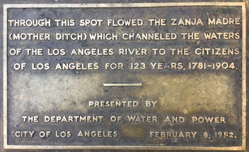
Zanja Madre
Erected 1952 by Dept. of Water & Power, City of Los Angeles.
Topics. This historical marker is listed in these topic lists: Colonial Era • Hispanic Americans • Native Americans • Settlements & Settlers.
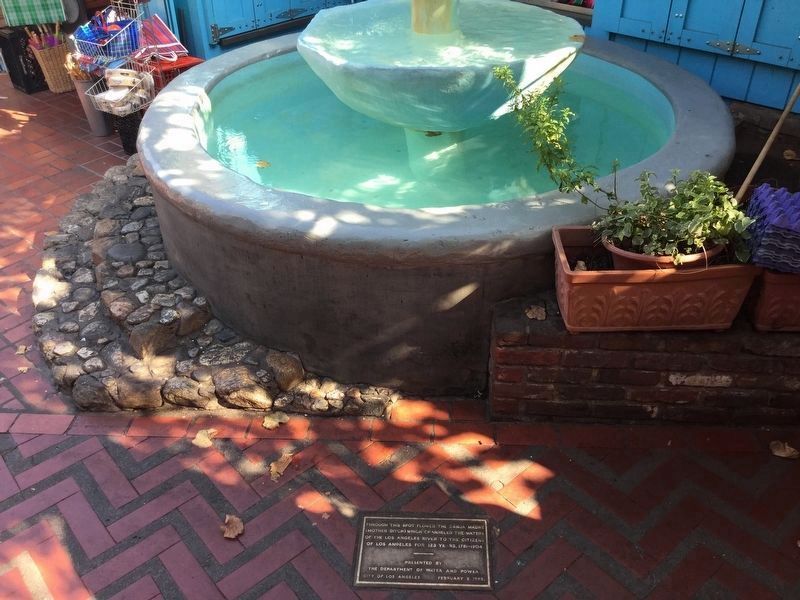
Location. 34° 3.461′ N, 118° 14.263′ W. Marker is in Los Angeles, California, in Los Angeles County. It is in Downtown Los Angeles. Marker can be reached from Olvera Street south of Cesar E Chavez Avenue, on the left when traveling south. Touch for map. Marker is at or near this postal address: 4 Olvera St # C, Los Angeles CA 90012, United States of America. Touch for directions.
Other nearby markers. At least 8 other markers are within walking distance of this marker. Pure Water from Many Sources (here, next to this marker); 1932 Olympic Village Cottage (a few steps from this marker); Pelanconi House (a few steps from this marker); Charlie Chaplin’s The Kid (a few steps from this marker); Old Winery (within shouting distance of this marker); Sepulveda House (within shouting distance of this marker); Headquarters of Commander Robert Field Stockton (within shouting distance of this marker); Pelanconi Warehouse (within shouting distance of this marker). Touch for a list and map of all markers in Los Angeles.
Regarding Zanja Madre. The Zanja Madre was the original earthen-walled ditch that carried water to the plaza of El Pueblo de Los Angeles. The Spanish-Colonial settlers and local Native Americans constructed it. The system of ditches grew to nearly 50 miles in length, later being enclosed in brick to improve sanitation and reduce evaporation. By the early 1900s, Los Angeles had outgrown its zanjas, and began importing water from the Owens Valley.
Credits. This page was last revised on January 30, 2023. It was originally submitted on May 4, 2019, by Craig Baker of Sylmar, California. This page has been viewed 523 times since then and 68 times this year. Photos: 1, 2. submitted on May 4, 2019, by Craig Baker of Sylmar, California. • Andrew Ruppenstein was the editor who published this page.

