Manchester in Richmond, Virginia — The American South (Mid-Atlantic)
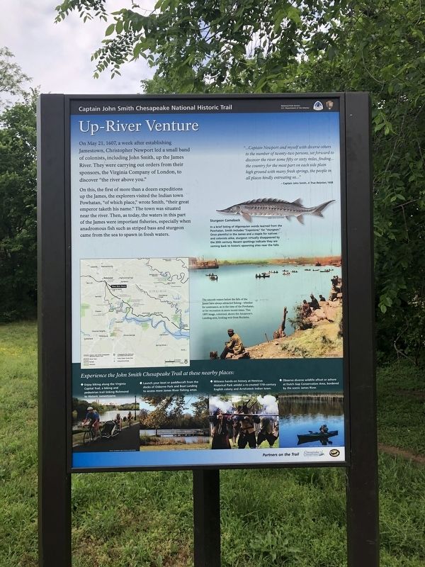
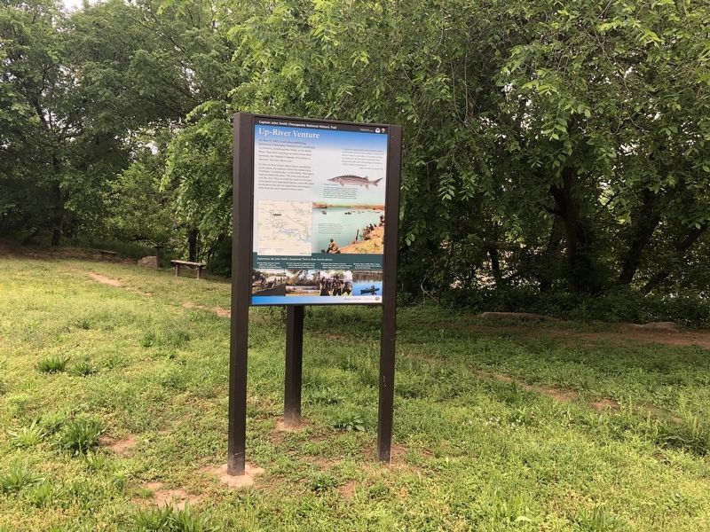
Up-River Venture
Captain John Smith Chesapeake National Historic Trail
— National Park Service, U.S. Department of the Interior —
On this, the first of more than a dozen expeditions up the James, the explorers visited the Indian town of Powhatan, "of which place," wrote Smith, "their great emperor taketh his name." The town was situated near the river. Then, as today, the waters in this part of the James were important fisheries, especially when andromous fish such as striped bass and sturgeon came from the sea to spawn in fresh waters.
"...Captain Newport and myself with diverse others to the number of twenty-two persons, set forward to discover the river some fifty or sixty miles, finding... the country for the most part on each side plain high ground with many fresh springs, the people in all places kindly entreating us..."
– Captain John Smith, A True Relation, 1608
[Captions:]
Sturgeon Comeback
In a brief listing of Algonquian words learned from the Powhatan, Smith includes "Copotone," for "sturgeon." Once plentiful in the James and a staple for natives and colonists alike, sturgeon virtually disappeared by the 20th century. Recent spottings indicate they are coming back to historic spawning sites near the falls.
The smooth waters below the falls of the James have always attracted fishing—whether for sustenance, as in the time of the Powhatan or for recreation in more recent times. This 1895 image, colorized, shows the Anacrow's Landing area, looking west from Rocketts.
Erected by National Park Service, U.S. Department of the Interior.
Topics and series. This historical marker is listed in these topic lists: Colonial Era • Exploration • Waterways & Vessels. In addition, it is included in the Captain John Smith Chesapeake National Historic Trail series list. A significant historical date for this entry is May 21, 1607.
Location. 37° 31.231′ N, 77° 25.128′ W. Marker is in Richmond, Virginia. It is in Manchester. Marker is on Brander Street east of Manchester Road, on the left when traveling south. Touch for map. Marker is at or near this postal address: 1200 Brander Street, Richmond VA 23224, United States of America. Touch for directions.
Other nearby markers. At least 8 other markers are within walking distance of this marker. Atlantic Sturgeon (within shouting distance of this marker); People-Technology-Commerce-Warfare (within shouting distance of this marker); Ancarrow's Landing (about 300 feet away, measured in a direct line); Crossing the Atlantic
Credits. This page was last revised on February 1, 2023. It was originally submitted on May 11, 2019, by Devry Becker Jones of Washington, District of Columbia. This page has been viewed 189 times since then and 23 times this year. Photos: 1, 2, 3, 4. submitted on May 11, 2019, by Devry Becker Jones of Washington, District of Columbia.


