Franklin in Williamson County, Tennessee — The American South (East South Central)
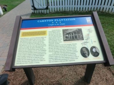
Carnton Plantation
Caught in the Middle
— Hood's Campaign —
Preface:
In September 1864, after Union Gen. William T. Sherman defeated Confederate Gen. John Bell Hood at Atlanta, Hood led the Army of Tennessee northwest against Sherman’s supply lines. Rather than contest Sherman’s “March to the Sea,” Hood moved north into Tennessee. Gen. John M. Schofield, detached from Sherman’s army, delayed Hood at Columbia and Spring Hill before falling back to Franklin. The bloodbath here on November 30 crippled the Confederates, but they followed Schofield to the outskirts of Nashville and Union Gen. George H. Thomas’s strong defenses. Hood’s campaign ended when Thomas crushed his army on December 15-16.
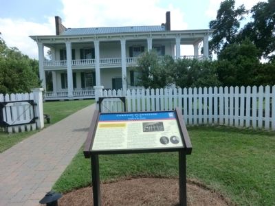
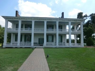
Randal McGavock, a prominent Nashville resident and a friend of Andrew Jackson, built Carnton in 1826. After McGavock’s death in 1843, his son John McGavock inherited the property and soon improved the house. Late on the afternoon of November 30, 1864, John McGavock, his wife, Carrie, and their two young children were caught up in one of the monumental conflicts of the Civil War, the Battle of Franklin. The McGavocks were trapped between almost 40,000 Confederate and Federal soldiers. At 4 P.M., the Confederate Army of Tennessee launched a massive frontal assault, at least as large as Pickett’s Charge at Gettysburg, and waves of soldiers smashed into the Federal defenses south of Franklin. In the face of withering Union artillery fire, the Confederate right wing swept past Carnton. Five hours later, 9,500 American soldiers on both sides were dead, wounded, or missing.
Carnton became a field hospital for Confederate Gen. William W. Loring’s division. By the middle of the night 300 suffering men jammed the house while hundreds of others spilled across the lawn and into outbuildings. Carrie McGavock’s sheets, towels, tablecloths, and John McGavock’s shirts were torn up for bandages. Wounded men bled and died on the floors and under the stairs. By dawn, the bodies of four dead Confederate generals were laid out on the back porch: Patrick R. Cleburne, Hiram B. Granbury, John Adams, and Otho F. Strahl.
In 1866, John and Carrie McGavock established what became known as the McGavock Confederate Cemetery nearby and reburied the remains of 1,481 Southern soldiers from their temporary graves south of town. The McGavocks maintained the cemetery until their own deaths in 1893 and 1905, respectively.
Captions:
Carnton, back porch where the generals’ bodies were laid Courtesy Carnton Plantation
John McGavock Courtesy Carnton Plantation
Carrie McGavock Courtesy Carnton Plantation
Erected by Tennessee Civil War Trails.
Topics and series. This historical marker is listed in these topic lists: Cemeteries & Burial Sites • War, US Civil. In addition, it is included in the Tennessee Civil War Trails series list. A significant historical month for this entry is September 1864.
Location. Marker has been reported permanently removed. It was located near 35° 54.204′ N, 86° 51.5′ W. Marker was in Franklin, Tennessee, in Williamson County. Marker could be reached from Carnton Lane, 0.6 miles south of Brandon Drive. Touch for map. Marker was at or near this postal address: 1345 Carnton Lane, Franklin TN 37064, United States of America.
We have been informed that this sign or monument is no longer there and will not be replaced. This page is an archival view of what was.
Other nearby markers. At least 8 other markers are within walking distance of this location. The McGavock Garden (within shouting distance of this marker); Carnton (within shouting distance of this marker); Civil War Franklin (within shouting distance of this marker); a different marker also named Civil War Franklin (within shouting distance of this marker); Maj. Gen. William W. Loring's Division (about 300 feet away, measured in a direct line); McGavock Family Cemetery (about 500 feet away); a different marker also named Carnton (about 500 feet away); Hood's Retreat (about 600 feet away). Touch for a list and map of all markers in Franklin.
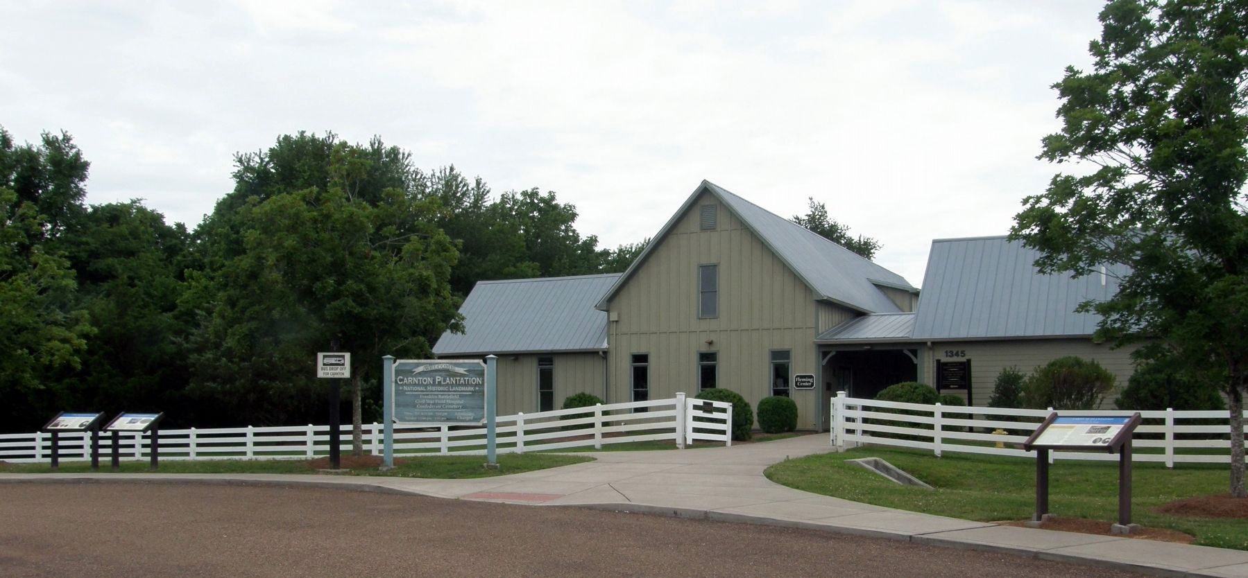
More about this marker. The marker has been moved to a new location near the Visitor Center entrance.
Credits. This page was last revised on December 16, 2020. It was originally submitted on October 5, 2013, by Don Morfe of Baltimore, Maryland. This page has been viewed 821 times since then and 23 times this year. Last updated on June 18, 2019, by Larry Gertner of New York, New York. Photos: 1, 2, 3. submitted on October 5, 2013, by Don Morfe of Baltimore, Maryland. 4. submitted on June 18, 2019, by Larry Gertner of New York, New York. 5, 6. submitted on July 28, 2019, by Larry Gertner of New York, New York. 7. submitted on July 4, 2016, by Don Morfe of Baltimore, Maryland. • Bernard Fisher was the editor who published this page.
