Fruitland in Wicomico County, Maryland — The American Northeast (Mid-Atlantic)
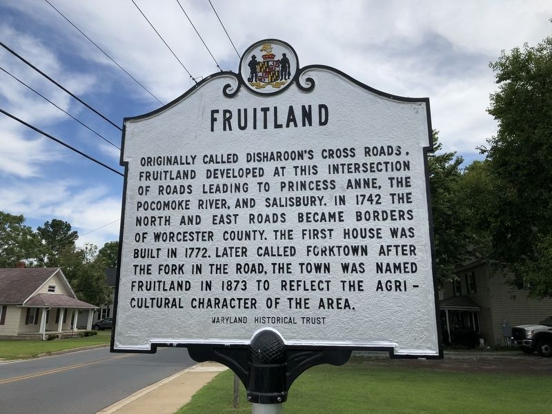
Fruitland
Erected by Maryland Historical Society.
Topics. This historical marker is listed in these topic lists: Agriculture • Colonial Era • Roads & Vehicles • Settlements & Settlers. A significant historical year for this entry is 1742.
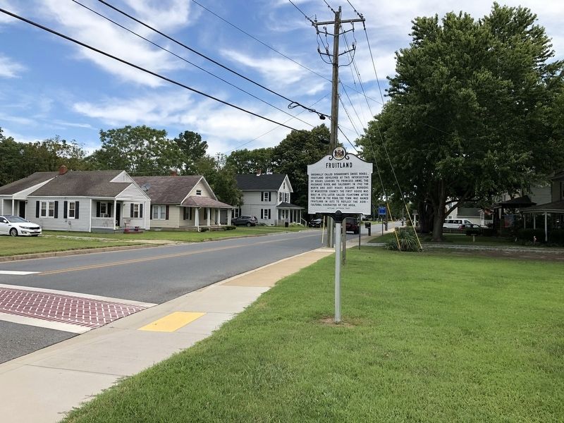
Location. 38° 19.052′ N, 75° 36.974′ W. Marker is in Fruitland, Maryland, in Wicomico County. Marker is at the intersection of North Division Street and East Main Street, on the right when traveling north on North Division Street. Touch for map. Marker is at or near this postal address: 103 North Division Street, Fruitland MD 21826, United States of America. Touch for directions.
Other nearby markers. At least 8 other markers are within 3 miles of this marker, measured as the crow flies. Samuel Chase (approx. 1.7 miles away); Holloway Hall (approx. 2.2 miles away); World War II Memorial - Salisbury College (approx. 2.2 miles away); Harriet Tubman (approx. 2.2 miles away); The Road to Salisbury Town (approx. 2˝ miles away); A Drop to Drink (approx. 2˝ miles away); Nature's Pasture (approx. 2˝ miles away); Plantation Barnyard (approx. 2˝ miles away).
Credits. This page was last revised on March 13, 2023. It was originally submitted on August 10, 2019, by Devry Becker Jones of Washington, District of Columbia. This page has been viewed 303 times since then and 25 times this year. Photos: 1, 2. submitted on August 10, 2019, by Devry Becker Jones of Washington, District of Columbia.

