Cherokee Trace
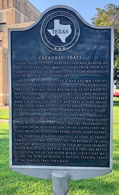
About 1821 they selected a man known for his uncanny sense of direction. Mounting a horse and dragging buffalo skins behind him, he set a northward course. A group of Indians followed, blazing the trees to mark the trail. Another group cleared away the heavy underbrush and trees. A third group established camping grounds by springs and planted Cherokee roses which still mark the route today.
Sam Houston, friend of the Cherokee, travelled it on his first Texas visit. David Crockett and other Texas revolution fighters as well as thousands of settlers from northeastern United States first saw Texas from the road, many establishing homes nearby.
The Cherokee remained peaceful as long as friend Sam Houston was President of the Republic. In June 1839 they were ordered from Texas because of raids and intrigues with Mexican agents. A two-day battle ensued on the Neches River where their chief was killed. The tribe retreated, fighting, leaving Texas by the famous trail they made.
Erected 1965 by State Historical Survey Committee. (Marker Number 11302.)
Topics. This historical marker is listed in
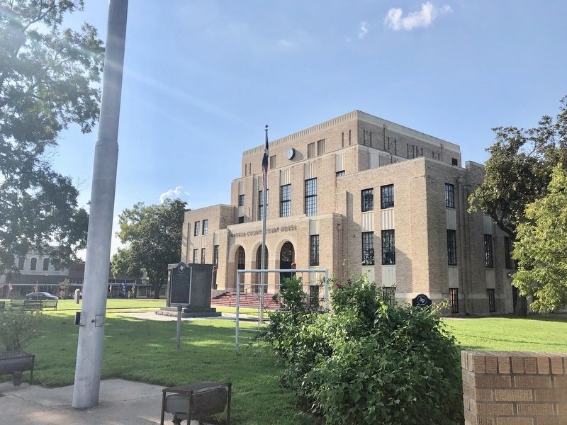
Location. 32° 43.737′ N, 94° 56.657′ W. Marker is in Gilmer, Texas, in Upshur County. Marker is at the intersection of East Marshall Street (Texas Route 154) and Simpson Street, on the right when traveling west on East Marshall Street. Touch for map. Marker is at or near this postal address: 100 West Tyler Street, Gilmer TX 75644, United States of America. Touch for directions.
Other nearby markers. At least 8 other markers are within walking distance of this marker. Sam Houston Spoke Here (here, next to this marker); Upshur County, C. S. A. / Emma Sampson Johnson (within shouting distance of this marker); C.S.A. Leather Factories (within shouting distance of this marker); 1925 Gilmer Post Office (within shouting distance of this marker); The Looney School (within shouting distance of this marker); Upshur County Bell (about 300 feet away, measured in a direct line); "The Gilmer Mirror" (about 300 feet away); First Baptist Church of Gilmer (about 700 feet away). Touch for a list and map of all markers in Gilmer.
Additional keywords.
Credits. This page was last revised on December 23, 2019. It was originally submitted on September 11, 2019, by Mark Hilton of Montgomery, Alabama. This page has been viewed 1,014 times since then and 112 times this year. Photos: 1, 2. submitted on September 11, 2019, by Mark Hilton of Montgomery, Alabama.

