Larrys River in Guysborough County, Nova Scotia — The Atlantic Provinces (North America)
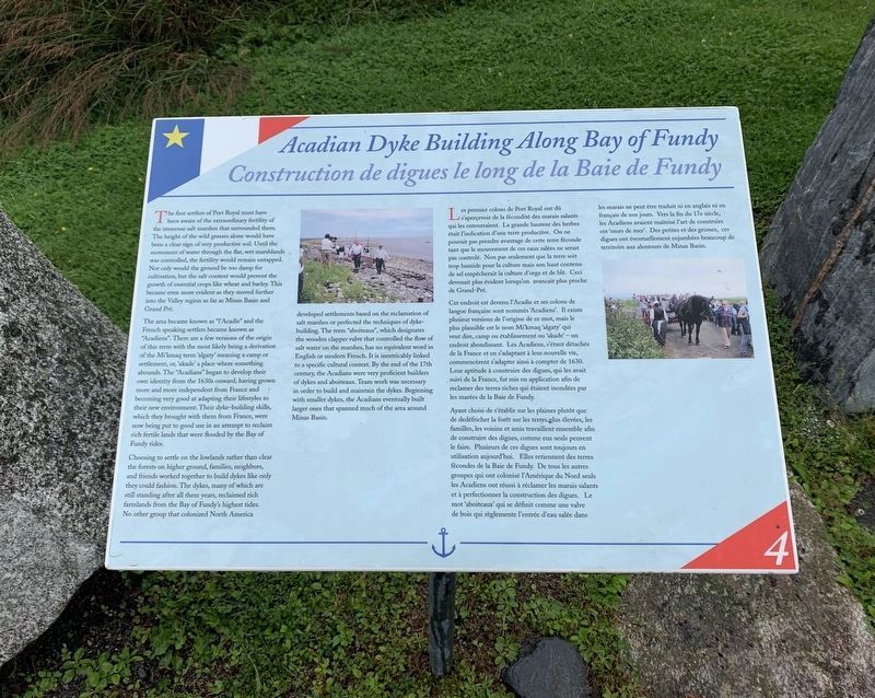
Acadian Dyke Building Along the Bay of Fundy
Construction de digues le long de la Baie de Fundy
The area became known as "l'Acadie” and the French speaking settlers became known as "Acadiens". There are a few versions of the origin of this term with the most likely being a derivation of the Mi'kmaq term ‘algaty' meaning a camp or settlement, or, 'akade' a place where something abounds. The "Acadians” began to develop their own identity from the 1630s onward, having grown more and more independent from France and becoming very good at adapting their lifestyles to their new environment. Their dyke-building skills, which they brought with them from France, were now being put to good use in an attempt to reclaim rich fertile lands that were flooded by the Bay of Fundy tides.
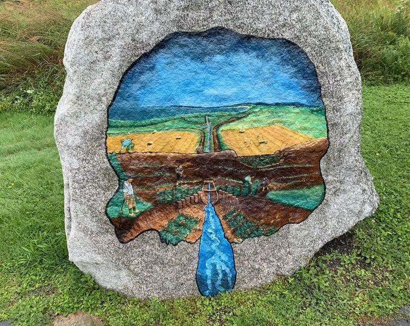
Choosing to settle on the lowlands rather than clear the forests on higher ground, families, neighbors, and friends worked together to build dykes like only they could fashion. The dykes, many of which are still standing after all these years, reclaimed rich farmlands from the Bay of Fundy's highest tides. No other group that colonized North America developed settlements based on the reclamation of salt marshes or perfected the techniques of dyke-building. The term "aboiteaux", which designates the wooden clapper valve that controlled the flow of salt water on the marshes, has no equivalent word in English or modern French. It is inextricably linked to a specific cultural context. By the end of the 17th century, the Acadians were very proficient builders of dykes and aboiteaux. Team work was necessary in order to build and maintain the dykes. Beginning with smaller dykes, the Acadians eventually built larger ones that spanned much of the area around Minas Basin.
Cet endroit est devenu l'Acadie et ses colons de langue française sont nommés Acadiens'. Il existe plusieur versions de l'origine de ce mot, mais le plus plausible est le nom Mi'kmaq 'algaty' qui veut dire, camp ou établissement ou 'akade' - un endroit abondissant. Les Acadiens, s'étant détachés de la France et en s'adaptant à leur nouvelle vie, commencèrent s'adapter ainsi à compter de 1630. Leur aptitude à construire des digues, qui les avait suivi de la France, fut mis en application afin de reclamer des terres riches qui étaient inondées par les marées de la Baie de Fundy.
Ayant choisi de s'établir sur les plaines plutôt que de dedéfricher la forêt sur les terres plus élevées, les familles, les voisins et amis travaillent ensemble afin de construire des digues, comme eux seuls peuvent le faire. Plusieurs de ces digues sont toujours en utilisation aujourd'hui. Elles retiennent des terres fécondes de la Baie de Fundy. De tous les autres groupes qui ont colonisé l'Amérique du Nord seuls les Acadiens ont réussi à réclamer les marais salants et à perfectionner la construction des digues. Le mot 'aboiteaux' qui se définit comme une valve de bois qui règlemente l'entrée d'eau salée dans les s marais ne peut être traduit ni en anglais ni en français de nos jours. Vers la fin du 17e siècle, les Acadiens avaient maîtrisé l'art de construire ces 'murs de mer'. Des petites et des grosses, ces digues ont éventuellement enjambées beaucoup de territoire aux alentours de Minas Basin.
(Marker Number 4.)
Topics and series. This historical marker is listed in these topic lists: Agriculture • Environment • Man-Made Features • Settlements & Settlers. In addition, it is included in the Acadian History series list. A significant historical year for this entry is 1630.
Location. 45° 13.302′ N, 61° 22.645′ W. Marker is in Larrys River, Nova Scotia, in Guysborough County. Marker is at the intersection of Marine Drive (Nova Scotia Route 316) and Ballfield Loop, on the right when traveling west on Marine Drive. Touch for map. Marker is in this post office area: Larrys River NS B0H 1T0, Canada. Touch for directions.
Other nearby markers. At least 8 other markers are within walking distance of this marker. Grand-Pré (here, next to this marker); Samuel de Champlain Meets Captain Savalette On Shores of Tor Bay (here, next to this marker); Settlement of l’Acadie 1604/1605 (here, next to this marker); The Great Upheaval 1755-1763 (here, next to this marker); French Expeditions Aimed At Settling North America (here, next to this marker); The Scattering of a People (a few steps from this marker); The Resettlement (a few steps from this marker); Chezzetcook, Tracadie and Havre Boucher (a few steps from this marker). Touch for a list and map of all markers in Larrys River.
Credits. This page was last revised on October 23, 2019. It was originally submitted on October 18, 2019, by Steve Stoessel of Niskayuna, New York. This page has been viewed 274 times since then and 55 times this year. Photos: 1, 2. submitted on October 18, 2019, by Steve Stoessel of Niskayuna, New York. • Andrew Ruppenstein was the editor who published this page.

