Bethlehem in Northampton County, Pennsylvania — The American Northeast (Mid-Atlantic)
Oil Mill
1765
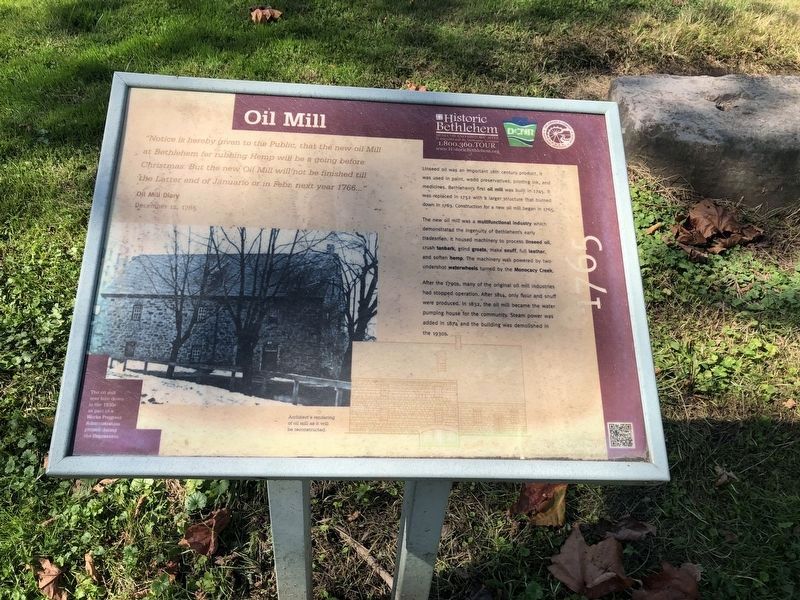
“Notice is hereby given to the Public, that the new oil Mill at Bethlehem for rubbing Hemp will be a going before Christmas. But the new Oil Mill will not be finished till the Latter end of Januario or in Febr. next year 1766...”
Oil Mill Diary
December 12, 1765
Linseed oil was an important 18th century product. It was used in paint, wood preservatives, printing ink, and medicines. Bethlehem's first oil mill was built in 1745. It was replaced in 1752 with a larger structure that burned down in 1763. Construction for a new oil mill began in 1765.
The new oil mill was a multifunctional industry which demonstrated the ingenuity of Bethlehem's early tradesmen. It housed machinery to process linseed oil, crush tanbark, grind groats, make snuff, full leather, and soften hemp. The machinery was powered by two undershot waterwheels turned by the Monocacy Creek.
After the 1790s, many of the original oil mill industries had stopped operation. After 1814, only flour and snuff were produced. In 1832, the oil mill became the water pumping house for the community. Steam power was added in 1874 and the building was demolished in the 1930s.
The oil mill was town down in the 1930s as part of a Works Progress Administration project during the Depression.
[Marker is damaged]
Erected by Historic Bethlehem, HistoryWorks!, and Delaware & Lehigh National Heritage Corridor.
Topics and series. This historical marker is listed in these topic lists: Colonial Era • Industry & Commerce • Man-Made Features • Natural Resources • Notable Buildings • Settlements & Settlers • Waterways & Vessels. In addition, it is included in the Works Progress Administration (WPA) projects series list. A significant historical month for this entry is December 1928.
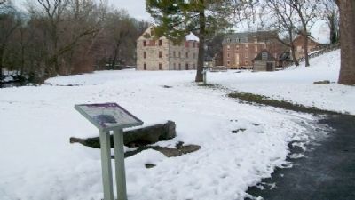
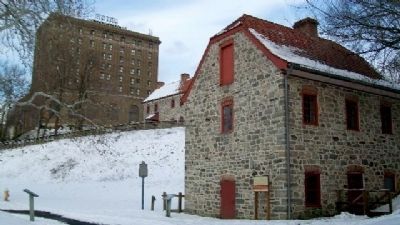
Location. 40° 37.145′ N, 75° 22.978′ W. Marker is in Bethlehem, Pennsylvania, in Northampton County. Marker is in the Colonial Industrial Quarter of Historic Bethlehem, along the former Ohio Road, about 20 feet west of the Waterworks, and about 50 feet north of the Main Street Bridge over the Monocacy Creek. Touch for map. Marker is in this post office area: Bethlehem PA 18018, United States of America. Touch for directions.
Other nearby markers. At least 8 other markers are within walking distance of this marker. Waterworks (here, next to this marker); Old Waterworks (a few steps from this marker); Bark Shed (within shouting distance of this marker); Colonial Industrial Quarter (within shouting distance of this marker); Pottery (within shouting distance of this marker);
West Hall (within shouting distance of this marker); Smith Complex (within shouting distance of this marker); Moravian Community (about 300 feet away, measured in a direct line). Touch for a list and map of all markers in Bethlehem.
Also see . . . Colonial Industrial Quarter. (Submitted on February 1, 2010, by William Fischer, Jr. of Scranton, Pennsylvania.)
Credits. This page was last revised on October 6, 2020. It was originally submitted on February 1, 2010, by William Fischer, Jr. of Scranton, Pennsylvania. This page has been viewed 1,106 times since then and 22 times this year. Photos: 1. submitted on October 6, 2020, by Devry Becker Jones of Washington, District of Columbia. 2, 3, 4. submitted on February 1, 2010, by William Fischer, Jr. of Scranton, Pennsylvania.


