Chesterfield in Chesterfield County, Virginia — The American South (Mid-Atlantic)
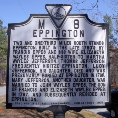
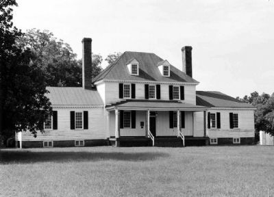
Eppington
Erected 1975 by Virginia Historic Landmarks Commission. (Marker Number M-8.)
Topics and series. This historical marker is listed in these topic lists: Cemeteries & Burial Sites • Colonial Era • Settlements & Settlers • Women. In addition, it is included in the Former U.S. Presidents: #03 Thomas Jefferson, and the Virginia Department of Historic Resources (DHR) series lists. A significant historical year for this entry is 1786.
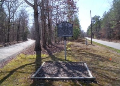
Location. 37° 19.753′ N, 77° 43.809′ W. Marker is in Chesterfield, Virginia, in Chesterfield County. Marker is at the intersection of River Road (Route 602) and Eppes Falls Road, on the left when traveling west on River Road. Touch for map. Marker is in this post office area: Chesterfield VA 23838, United States of America. Touch for directions.
Other nearby markers. At least 8 other markers are within 7 miles of this marker, measured as the crow flies. William Ransom Johnson (approx. 1.2 miles away); Clover Hill Mining District (approx. 3.6 miles away); Namozine Church (approx. 5˝ miles away); a different marker also named Namozine Church (approx. 5˝ miles away); Lee’s Retreat (approx. 5˝ miles away); Skinquarter Baptist Church (approx. 6˝ miles away); Goode's Bridge (approx. 6.8 miles away); Amelia County / Chesterfield County (approx. 6.8 miles away). Touch for a list and map of all markers in Chesterfield.
Credits. This page was last revised on December 24, 2019. It was originally submitted on March 21, 2010, by Bernard Fisher of Richmond, Virginia. This page has been viewed 1,372 times since then and 35 times this year. Photos: 1, 2, 3. submitted on March 21, 2010, by Bernard Fisher of Richmond, Virginia.


