Near Ocracoke in Hyde County, North Carolina — The American South (South Atlantic)
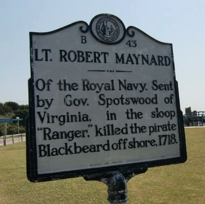
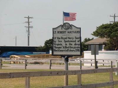
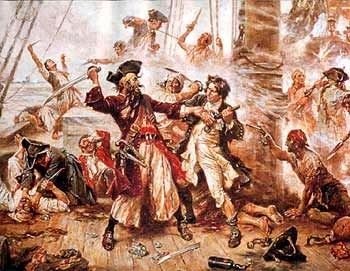
Lt. Robert Maynard
Erected 1965 by Archives and Highway Departments. (Marker Number B-43.)
Topics and series. This historical marker is listed in these topic lists: Colonial Era • Heroes • Notable Events • Waterways & Vessels. In addition, it is included in the North Carolina Division of Archives and History series list. A significant historical year for this entry is 1718.
Location. 35° 6.96′ N, 75° 59.119′ W. Marker is near Ocracoke, North Carolina, in Hyde County. Marker is on Irvin Garrish Highway (State Highway 12) west of Water Plant Road, on the left when traveling west. Touch for map. Marker is in this post office area: Ocracoke NC 27960, United States of America. Touch for directions.
Other nearby markers. At least 8 other markers are within walking distance of this marker. USRC Mercury (a few steps from this marker); Harboring Change (within shouting distance of this marker); Welcome to Ocracoke… (about 300 feet away, measured in a direct line); Ship's Rudder (about 300 feet away); Ocracoke Windmills (about 300 feet away); Late 19th Century Cistern (about 300 feet away); The Blanche (about 400 feet away); Ocracoke’s Commercial Fishing Heritage (about 400 feet away). Touch for a list and map of all markers in Ocracoke.
More about this marker. Marker is on the west end of the island in the Ocracoke harbor area - southeast of the National Park Service visitor's center and east of the North Carolina Ferry Terminal off the ferry access drive.
Also see . . .
1. When Blackbeard Scourged the Seas. "Governor Spotswood warred against him. His skull became a drinking cup." (Submitted on September 16, 2008.)
2. Wikipedia entry for Lt. Robert Maynard. (Submitted on April 21, 2010, by Richard E. Miller of Oxon Hill, Maryland.)
Credits. This page was last revised on June 30, 2021. It was originally submitted on September 12, 2008, by M. L. 'Mitch' Gambrell of Taylors, South Carolina. This page has been viewed 2,668 times since then and 52 times this year. Last updated on April 21, 2010, by Richard E. Miller of Oxon Hill, Maryland. Photos: 1. submitted on April 21, 2010, by Richard E. Miller of Oxon Hill, Maryland. 2, 3. submitted on April 20, 2010, by Richard E. Miller of Oxon Hill, Maryland. 4. submitted on April 21, 2010, by Richard E. Miller of Oxon Hill, Maryland. • Kevin W. was the editor who published this page.


