Near Mitchellville in Polk County, Iowa — The American Midwest (Upper Plains)
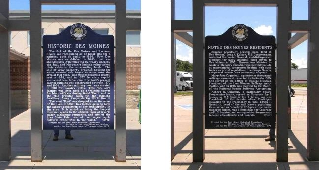
Historic Des Moines / Noted Des Moines Residents
Inscription.
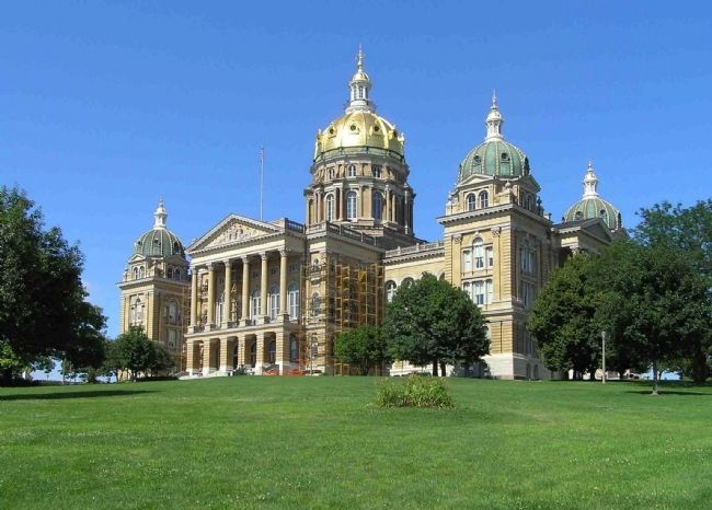
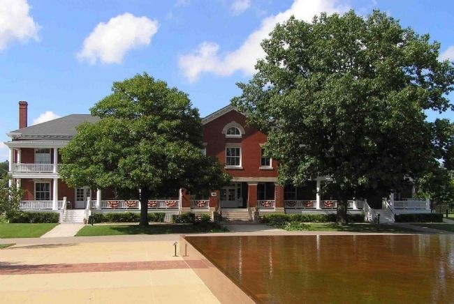
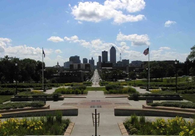
The fork of the Des Moines and Raccoon Rivers was recognized as an ideal site a military post as early 1834. Fort Des Moines was established in 1843, but was abandoned in 1846 following the treaty whereby the Sauk and Mesquakie Indians relinquished their rights to the surrounding lands. The sale of army property provided housing for white settlers who began to moved into the area at that time. Des Moines became a county eat in 146, and in 1857 the state capital was moved here from Iowa City. Iowa’s present capitol building was constructed between 1870 and 1884. Another military post was created in 1901 for cavalry units. This 400 acres facility was later used as a training center for black officers during World War I, and as the first training camp for the Women’s Auxiliary Army Corps during World War II.
The word “Fort” was dropped from the name of the town in 1857. Des Moines grew to have the largest population of any municipality in the state. It is noted as being the largest insurance center in the Midwest, home of several major publishing companies and the site of the Iowa State Fair, one of the largest agricultural expositions in the word.
Several prominent persons have lived in Des Moines. John A. Kasson, U.S. Congressman, Assistant Postmaster General, and distinguished diplomat for many decades, first moved to Des Moines in 1857. Kasson was Minister to Austria-Hungary and also represented the U.S. at international congresses dealing with such topics as postal regulations, the Congo, Somoa, reciprocal tariffs, and boundary disputes.
Mary Jane Coggeshall, a pioneer in the women’s suffrage movement, came to Des Moines in 1865. She served as editor of the Women’s Standard, President of the Iowa Woman Suffrage Association, and in 1895 was elected to the Board of the National Woman Suffrage Association.
Albert B. Cummins, a nationally known Progressive leader, served as Governor for 3 terms, as U.S. Senator for 3 terms and was President of the Senate after Coolidge’s elevation to the Presidency in 1923. Edwin T. Meredith, head of the well known publishing firm, served as Secretary of Agriculture under Woodrow Wilson, was a candidate for Governor and U.S. Senator, and was appointed to numerous federal commissions and boards. (over)
Erected 1977 by Iowa State Historical Department Division of the State Historical Society and by the Iowa Department of Transportation. (Marker Number 23.)
Topics and series. This historical marker is listed in these topic lists: African Americans • Agriculture
• Civil Rights • Communications • Forts and Castles • Settlements & Settlers • War, World I • War, World II • Women. In addition, it is included in the Former U.S. Presidents: #28 Woodrow Wilson, the Former U.S. Presidents: #30 Calvin Coolidge, and the Iowa - State Historical Society of Iowa series lists. A significant historical year for this entry is 1834.
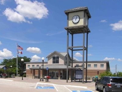
Location. 41° 40.87′ N, 93° 23.398′ W. Marker is near Mitchellville, Iowa, in Polk County. Marker can be reached from Route 80 at milepost 147,, 1.2 miles west of 112 Street NE (County Road S27), on the right when traveling west. The marker is located at Rest Area 12 Westbound, 1.3 miles west of Exit 149 on Interstate 80. Touch for map. Marker is in this post office area: Mitchellville IA 50169, United States of America. Touch for directions.
Other nearby markers. At least 4 other markers are within 17 miles of this marker, measured
as the crow flies. Universalist Church (approx. 1.7 miles away); Site of Camp Burnside 1862 (approx. 11.9 miles away); Owen's Covered Bridge (approx. 13.1 miles away); Hastie Station (approx. 16.6 miles away).
Also see . . . City of Des Moines Information Center - Historical Information. (Submitted on July 13, 2010, by PaulwC3 of Northern, Virginia.)
Credits. This page was last revised on November 19, 2019. It was originally submitted on July 13, 2010, by PaulwC3 of Northern, Virginia. This page has been viewed 1,398 times since then and 78 times this year. Photos: 1, 2, 3, 4, 5, 6. submitted on July 13, 2010, by PaulwC3 of Northern, Virginia.
