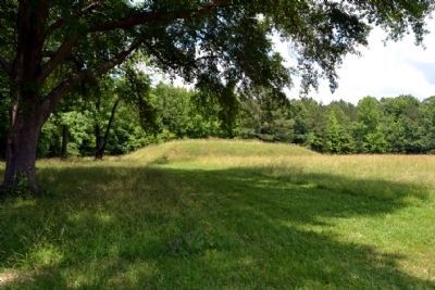
Near Tishomingo in Tishomingo County, Mississippi — The American South (East South Central)
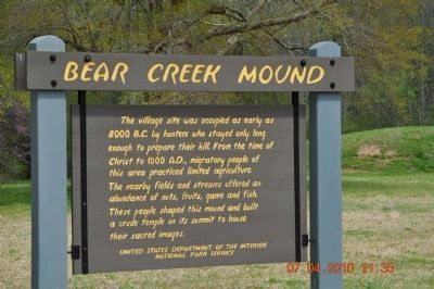
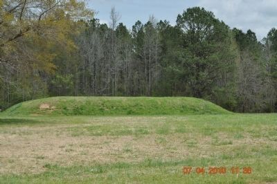
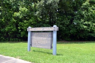
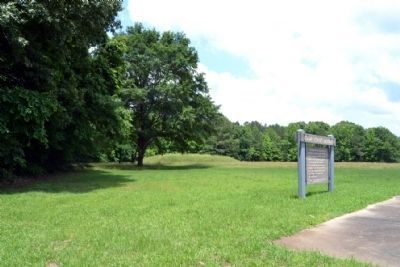
Bear Creek Mound
Erected by United State Department of the Interior National Park Service.
Topics and series. This historical marker is listed in these topic lists: Agriculture • Anthropology & Archaeology • Native Americans • Settlements & Settlers. In addition, it is included in the Natchez Trace series list.
Location. 34° 38.667′ N, 88° 7.965′ W. Marker is near Tishomingo, Mississippi, in Tishomingo County. Marker can be reached from Natchez Trace Parkway (at milepost 308.8), 1.2 miles north of Mississippi Highway 30, on the left when traveling north. Near the Mississippi-Alabama State line. Touch for map. Marker is in this post office area: Tishomingo MS 38873, United States of America. Touch for directions.
Other nearby markers. At least 8 other markers are within 11 miles of this marker, measured as the crow flies. Cave Spring (approx. half a mile away); The Natchez Trace (approx. 2.8 miles away); a different marker also named Natchez Trace (approx. 5.7 miles away); Levi Colbert Stand (approx. 10.1 miles away in Alabama); Something to Chew on (approx. 10.2 miles away in Alabama); Bridging Cultures (approx. 10.2 miles away in Alabama); Mac McAnally (approx. 10.2 miles away); Barton Hall (approx. 10.4 miles away in Alabama). Touch for a list and map of all markers in Tishomingo.
Credits. This page was last revised on December 16, 2020. It was originally submitted on September 15, 2010, by Sandra Hughes Tidwell of Killen, Alabama, USA. This page has been viewed 1,284 times since then and 33 times this year. Last updated on September 22, 2010, by William J. Toman of Green Lake, Wisconsin. Photos: 1, 2. submitted on September 15, 2010, by Sandra Hughes Tidwell of Killen, Alabama, USA. 3, 4, 5. submitted on June 25, 2015, by Duane Hall of Abilene, Texas. • Bill Pfingsten was the editor who published this page.
