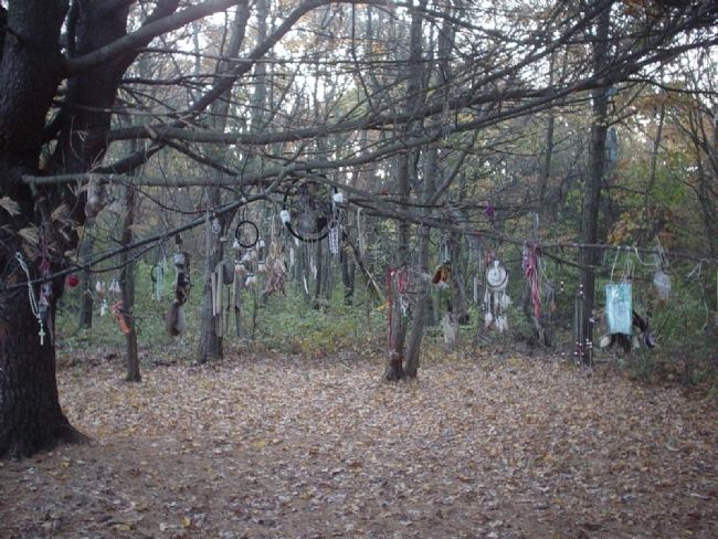
Ipswich in Essex County, Massachusetts — The American Northeast (New England)
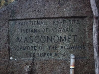
Masconomet Sagamore of the Agawams
Indians of Agawam
Masconomet
Sagamore of the Agawams
Died March 6 1658
Topics. This historical marker is listed in these topic lists: Cemeteries & Burial Sites • Colonial Era • Native Americans • Settlements & Settlers. A significant historical date for this entry is March 6, 1658.
Location. 42° 37.877′ N, 70° 49.165′ W. Marker is in Ipswich, Massachusetts, in Essex County. Marker can be reached from Sagamore Hill, on the right when traveling east. Special notice, the location is the driveway to the LEFT of the two visible (single mailbox) and is part of a US Air Force installation. Gates close at sun-down and access may be controlled by the USAF as they deem necessary. I know of no problems entering this road but taking notice of this is reasonable. Touch for map. Marker is in this post office area: South Hamilton MA 01982, United States of America. Touch for directions.
Other nearby markers. At least 8 other markers are within 3 miles of this marker, measured as the crow flies. Essex Massachusetts Soldier’ Monument (approx. 1.9 miles away); Herbert Goodhue War Memorial (approx. 1.9 miles away); The Covered Wagon (approx. 1.9 miles away); Knowlton Moore Memorial Playground (approx. 1.9 miles away); Free School (approx. 2 miles away); Shipyard of 1668 (approx. 2 miles away); Shipbuilders Memorial (approx. 2.1 miles away); John Wise House (approx. 2.2 miles away).
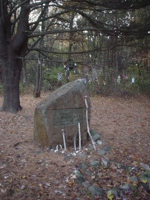
More about this marker. The large stone marker is in the woods and a "pull off" area has been created to accommodate visitors.
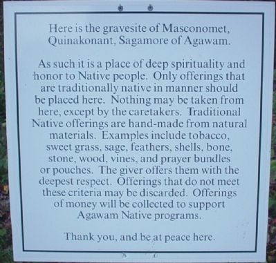
It should be noted that this is a place of significance to many groups and is treated as such by Native Americans. Please be respectful.
Regarding Masconomet Sagamore of the Agawams. From the Wikipedia entry:
Masconomet [...] was sagamore or chief of the Agawam tribe among the Algonquian peoples during the time of the English colonization of the Americas. He is known for his quitclaim deed ceding all the tribal land, which extended from Cape Ann to the Merrimack River, as far inland as North Andover, Massachusetts and Middleton, Massachusetts, and as far to the southwest as the Danvers River, to John Winthrop the Younger, his heirs and all the settlers of eastern Essex County for a sum of 20 pounds, about 100 dollars.
Also see . . . Wikipedia entry: Chief Masconomet. (Submitted on October 26, 2010, by Michael Tiernan of Danvers, Massachusetts.)
Photographed By Michael Tiernan, October 26, 2010
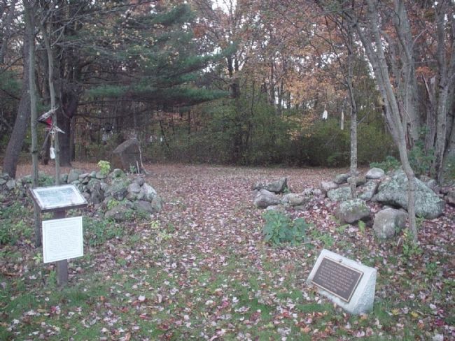
3. Masconomet Sagamore of the Agawams Marker
Here is the whole area as seen from the access road.
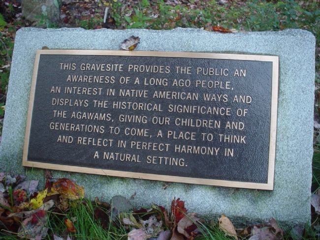
The large rock marker is seen in the distance to left of center. The brass plate marker is seen on the right, and the white informational marker is seen on the left.
Photographed By Michael Tiernan, October 26, 2010
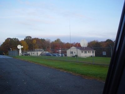
7. Masconomet Sagamore of the Agawams Marker
For reference, this is a view of the area across from the grave site showing the USAF installation. In the past I've noticed that leaving my car running has caused an antenna or two to swing my way. I suspect the electrical noise of the vehicle to interfere with them. (Just FYI)
Credits. This page was last revised on June 16, 2016. It was originally submitted on October 26, 2010, by Michael Tiernan of Danvers, Massachusetts. This page has been viewed 1,844 times since then and 49 times this year. Photos: 1, 2, 3, 4, 5, 6, 7. submitted on October 26, 2010, by Michael Tiernan of Danvers, Massachusetts. • Syd Whittle was the editor who published this page.
