Near Culpeper in Culpeper County, Virginia — The American South (Mid-Atlantic)
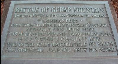
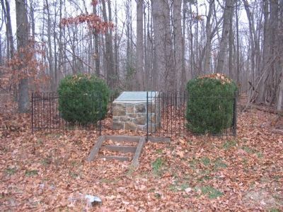
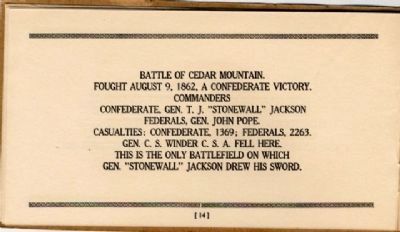
Battle of Cedar Mountain
• Commanders •
Confederate, Gen. T.J. "Stonewall" Jackson
Federals, Gen. John Pope
Casualties, Confederate, 1369. Federal, 2263
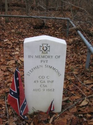
• Gen. C.S. Winder, C.S.A. fell here •
This is the only battlefield on which
Gen. Stonewall Jackson drew his sword.
Topics and series. This historical marker is listed in this topic list: War, US Civil. In addition, it is included in the Battlefield Markers Association series list. A significant historical year for this entry is 1862.
Location. 38° 24.301′ N, 78° 4.144′ W. Marker is near Culpeper, Virginia, in Culpeper County. Marker is at the intersection of General Winder Road (County Route 657) and James Madison Highway (U.S. 15), on the right when traveling west on General Winder Road. Located at the pull-off and trail head for the Civil War Preservation Trust's Cedar Mountain Battlefield walking trail. Touch for map. Marker is in this post office area: Culpeper VA 22701, United States of America. Touch for directions.
Other nearby markers. At least 8 other markers are within walking distance of this marker. A different marker also named Battle of Cedar Mountain (a few steps from this marker); Hand-to-Hand Fighting (within shouting distance of this marker); a different marker also named The Battle of Cedar Mountain (within shouting distance of this marker); a different marker also named Battle of Cedar Mountain (within shouting distance of this marker); a different marker also named Battle of Cedar Mountain (about 400 feet away, measured in a direct line); a different marker also named Battle of Cedar Mountain (approx. 0.2 miles away); a different marker also named Battle of Cedar Mountain (approx. 0.2 miles away); a different marker also named Battle of Cedar Mountain (approx. 0.2 miles away). Touch for a list and map of all markers in Culpeper.
Regarding Battle of Cedar Mountain. This is one of several markers interpreting the Battle of Cedar Mountain. See the Battle of Cedar Mountain Virtual Tour by Markers linked below.
Also see . . .
1. Friends of Cedar Mountain Battlefield. Assisted by the Civil War Preservation Trust, the organization has worked to restore the 152-acre Cedar Mountain Battlefield Park to its wartime appearance. (Submitted on December 30, 2007, by Craig Swain of Leesburg, Virginia.)
2. Battle of Cedar Mountain Virtual Tour by Markers. A set markers that document the Battle of Cedar Mountain, August 9, 1862. (Submitted on January 1, 2008, by Craig Swain of Leesburg, Virginia.)
Photographed By Craig Swain, December 22, 2007
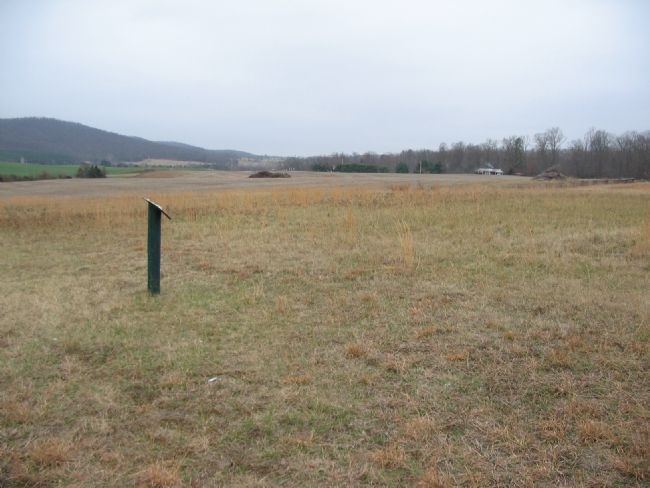
4. Center Stage of the Battle
Much of the battle occurred within this view from the third stop on the walking trail. To the left is Cedar Mountain. Running up the treeline in the center distance is the Crittenden Lane (modern General Winder Road, CR 657). Where the snake rail fence on the right reaches the road was Crittenden Gate, a point hotly contested in the later phases of the battle. The low ground extending from the center out to the left was the corn field Augur's Division marched through to attack the Confederate lines.
Credits. This page was last revised on September 6, 2021. It was originally submitted on December 30, 2007, by Craig Swain of Leesburg, Virginia. This page has been viewed 4,142 times since then and 64 times this year. Last updated on September 3, 2021, by Bradley Owen of Morgantown, West Virginia. Photos: 1, 2. submitted on December 30, 2007, by Craig Swain of Leesburg, Virginia. 3, 4. submitted on January 1, 2008, by Craig Swain of Leesburg, Virginia. 5. submitted on December 9, 2008, by Bernard Fisher of Richmond, Virginia. • Bernard Fisher was the editor who published this page.
