Oldtown in Allegany County, Maryland — The American Northeast (Mid-Atlantic)
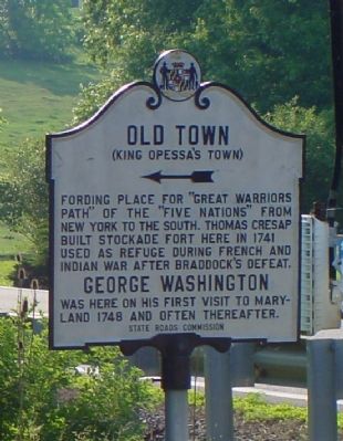
Old Town
(King Opessa’s Town)
George Washington
was here on his first visit to Maryland 1748 and often thereafter.
Erected by State Roads Commission.
Topics and series. This historical marker is listed in these topic lists: Bridges & Viaducts • Colonial Era • Roads & Vehicles • War, French and Indian. In addition, it is included in the Former U.S. Presidents: #01 George Washington, and the George Washington Slept Here series lists. A significant historical year for this entry is 1741.
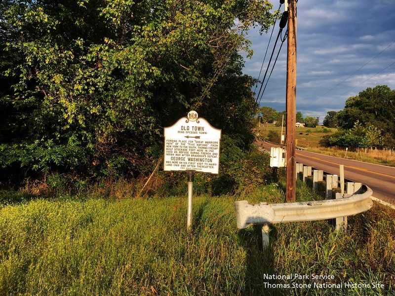
Location. 39° 32.516′ N, 78° 36.39′ W. Marker is in Oldtown, Maryland, in Allegany County. Marker is at the intersection of Oldtown Road (Maryland Route 51) and Opessa Street, on the right when traveling east on Oldtown Road. Touch for map. Marker is in this post office area: Oldtown MD 21555, United States of America. Touch for directions.
Other nearby markers. At least 5 other markers are within walking distance of this marker . Michael Cresap (approx. ¼ mile away); Maryland’s Liberty Tree (approx. 0.3 miles away); Oldtown and Lock 70 (approx. 0.3 miles away); In Memory Of Col. Thomas Cresap (approx. 0.4 miles away); Memorial (approx. 0.4 miles away). Touch for a list and map of all markers in Oldtown.
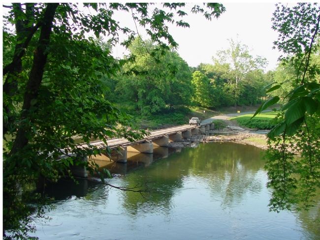
Regarding Old Town. Now called Oldtown, it has what is one of the few, and perhaps the smallest, privately owned toll bridge in the country, The Oldtown Low-Water Toll Bridge. This one-lane wooden-decked bridge without railings is used to cross the Potomac river into West Virginia—but only when the water doesn't top it. It is said that “an Act of Congress” prevents other bridges from being built within 5 miles upstream or downstream. Toll is 50 cents each way.
The C&O Canal passes between Oldtown and the river. There are picnic areas, ball fields, and plenty of parking.
Oldtown is the oldest town in Allegeny County.
Also see . . . Historic Oldtown. (Submitted on July 21, 2006.)

Photographed By J. J. Prats, June 7, 2006
4. Oldtown Low-Water Toll Bridge
Bridge crosses the Potomac River connecting Oldtown and the Cumberland area of Allegeny County in Maryland with Green Springs and Springfield in Hampshire County, West Virginia. Photographer is in West Virginia looking towards Maryland.
Credits. This page was last revised on August 6, 2020. It was originally submitted on July 21, 2006, by J. J. Prats of Powell, Ohio. This page has been viewed 6,445 times since then and 95 times this year. Photos: 1, 2. submitted on July 21, 2006, by J. J. Prats of Powell, Ohio. 3. submitted on September 22, 2019. 4. submitted on July 21, 2006, by J. J. Prats of Powell, Ohio.


