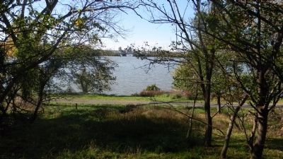
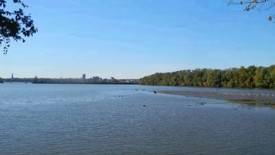
Fort Washington in Prince George's County, Maryland — The American Northeast (Mid-Atlantic)
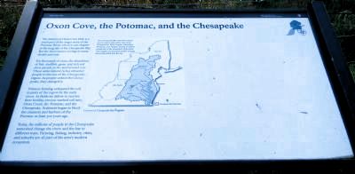
Oxon Cove, the Potomac, and the Chesapeake
— [Oxon Cove Park] —
Inscription.
The history of Oxon Cove Park is a small part of the larger story of the Potomac River, which is one chapter in the long tale of the Chesapeake Bay. But the three stories overlap in many details and eras.
For thousands of years, the abundance of fish, shellfish, game, and rich soil drew people to the land around you. These same natural riches attracted people to the rest of the Chesapeake region. As people settled the Chesapeake, they changed it.
Tobacco farming exhausted the soil in parts of the region by the early 1700s. As fields lay fallow to recover their fertility, erosion washed soil into Oxon Creek, the Potomac, and the Chesapeake. Sediment began to block the channels and harbors of the Potomac at least 300 years ago.
Today, the millions of people in the Chesapeake watershed change the rivers and the bay in different ways. Farming, fishing, industry, cities, and suburbs are all part of the area’s modern ecosystem.
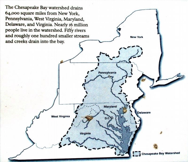
Map of the Mid-Atlantic states with the Chesapeake watershed highlighted.
Courtesy of Chesapeake Bay Program.
The Chesapeake Bay watershed drains 64,000 square miles from New York, Pennsylvania, West Virginia, Maryland, Delaware, and Virginia. Nearly 16 million people live in the watershed. Fifty rivers and roughly one hundred smaller streams and creeks drain into the bay.
Erected by National Park Service, U.S. Department of the Interior.
Topics. This historical marker is listed in these topic lists: Environment • Natural Features • Notable Places • Waterways & Vessels.
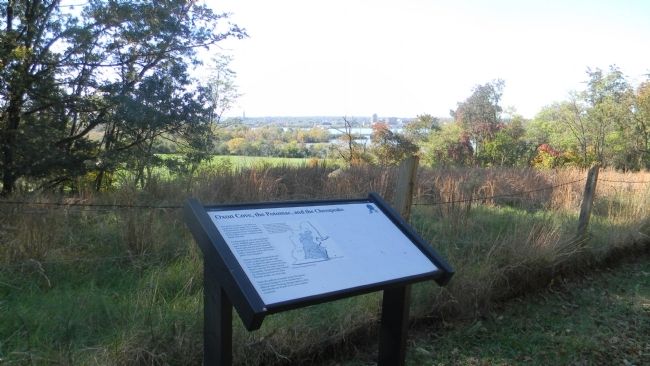
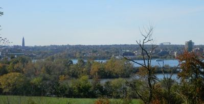
Location. 38° 48.265′ N, 77° 0.664′ W. Marker is in Fort Washington, Maryland, in Prince George's County. Marker is on Oxon Hill Hiker Trail west of Bald Eagle Road, on the left when traveling north. Marker is below Mount Welby and the Oxon Hill Farm on the wooded hill overlooking the Potomac and Oxon Cove Park. Touch for map. Marker is at or near this postal address: 6411 Oxon Hill Road, Oxon Hill MD 20745, United States of America. Touch for directions.
Other nearby markers. At least 8 other markers are within walking distance of this marker. The Capture of Alexandria (within shouting distance of this marker); The Potomac Highway (about 600 feet away, measured in a direct line); Rockets on the Hill (about 600 feet away); War Comes to Mount Welby (approx. 0.2 miles away); Mount Welby (approx. 0.2 miles away); The DeButts Family Comes to Maryland (approx. 0.2 miles away); The Burning of Washington, D.C. (approx. 0.2 miles away); Root Cellar (approx. 0.2 miles away). Touch for a list and map of all markers in Fort Washington.
Photographed By Allen C. Browne, September 17, 2011
7. Chesapeake Bay Watershed
The Chesapeake Bay watershed drains 64,000 square miles from New York, Pennsylvania, West Virginia, Maryland, Delaware, and Virginia. Nearly 16 million people live in the watershed. Fifty rivers and roughly one hundred smaller streams and creeks drain into the bay.Close-up of map on marker
Credits. This page was last revised on March 3, 2023. It was originally submitted on November 7, 2011, by Richard E. Miller of Oxon Hill, Maryland. This page has been viewed 704 times since then and 11 times this year. Photos: 1, 2, 3, 4, 5, 6. submitted on November 7, 2011, by Richard E. Miller of Oxon Hill, Maryland. 7. submitted on December 24, 2016, by Allen C. Browne of Silver Spring, Maryland. • Bill Pfingsten was the editor who published this page.
