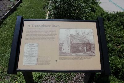
A Thoroughfare Town
This intersection was the earliest center of colonial Providence. A grist mill stood just north, at the falls of Moshassuck River, and a tannery and taverns were nearby across the street. In 1676 the natives of many tribes united against the New England colonies in King Philip's War. Alone, unarmed, and over 70 years old, Roger Williams walked out on a point of land in the river here, and pleaded unsuccessfully with the warriors to spare his town from burning.
Williams was fluent in the Narragansett language and often acted as mediator between colonists and natives. His Key Into the Language of America was a collection of phrases, poems and cultural observations on native life.
Topics. This historical marker is listed in these topic lists: Colonial Era • Native Americans • Settlements & Settlers • Wars, US Indian. A significant historical year for this entry is 1676.
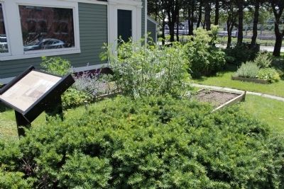
Location. This marker has been replaced by another marker nearby. It was located near 41° 49.885′ N, 71° 24.643′ W. Marker was in Providence, Rhode Island, in Providence County. It was in College Hill. Marker was on North Main Street, on the left when traveling north. Touch for map. Marker was in this post office area: Providence RI 02903, United States of America. Touch for directions.
Other nearby markers. At least 8 other markers are within walking distance of
Credits. This page was last revised on February 8, 2023. It was originally submitted on June 8, 2012, by Bryan Simmons of Attleboro, Massachusetts. This page has been viewed 631 times since then and 11 times this year. Photos: 1, 2. submitted on June 8, 2012, by Bryan Simmons of Attleboro, Massachusetts. • Bill Pfingsten was the editor who published this page.

