Mentone in Loving County, Texas — The American South (West South Central)
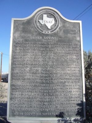
Oliver Loving, C.S.A.
(1812 – 1867)
Born in Kentucky. Came to Texas 1845, to farm, haul freight, deal in cattle. Started large Palo Pinto County ranch. In 1858, drove herd to Chicago--first time in history Texas cattle trailed to northern market. In 1859 drove to Denver.
When Civil War broke out, 1861, was Confederate beef contractor, furnishing meat to army commissaries. Served on 24-hour patrol squad against Indians in frontier town of Weatherford. Mapped an 1862 expedition by 300 or more Texans to wipe out depredating Indians on the home grounds in Colorado, but failed to get necessary men to put this plan into action.
After the war, with Charles Goodnight, drove cattle from Palo Pinto to Horsehead Crossing on the Pecos, then up the river to Indian reservations and forts in New Mexico. In 1867 on this trail, was shot by Comanches: crawled 5 miles, chewing an old kid glove for food. Hauled at price of $250 to Fort Sumner by Mexican traders, he had wounds treated, but died of gangrene. Partner packed corpse in charcoal, hauled him to Weatherford for burial, fulfilling last wish.
Loving County was named for him in 1887.
Erected 1965 by State Historical Survey Committee. (Marker Number 3851.)
Topics. This historical marker is listed in these topic lists: Agriculture • Roads & Vehicles • Settlements & Settlers • War, US Civil. A significant historical year for this entry is 1845.
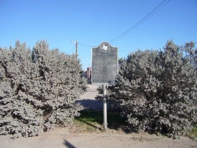
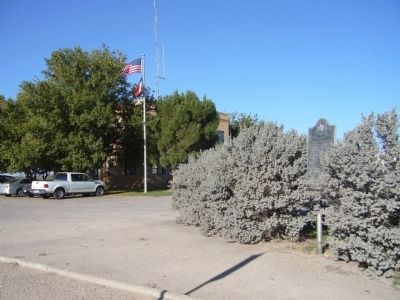
Location. 31° 42.399′ N, 103° 35.888′ W. Marker is in Mentone, Texas, in Loving County. Marker is at the intersection of Bell Street (State Highway 302) and Dallas Street, on the right when traveling west on Bell Street. Marker is in the southeast corner of courthouse plaza. Touch for map. Marker is in this post office area: Mentone TX 79754, United States of America. Touch for directions.
Other nearby markers. At least 5 other markers are within walking distance of this marker. Loving County (within shouting distance of this marker); Mentone (within shouting distance of this marker); Mentone Community Church (approx. 0.2 miles away); Route of Old Butterfield Stagecoach Road (approx. half a mile away); Goodnight-Loving Trail (approx. half a mile away).
Credits. This page was last revised on December 21, 2019. It was originally submitted on November 22, 2012, by Bill Kirchner of Tucson, Arizona. This page has been viewed 708 times since then and 54 times this year. Photos: 1, 2, 3. submitted on November 22, 2012, by Bill Kirchner of Tucson, Arizona. • Bernard Fisher was the editor who published this page.


